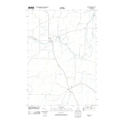
2010 Map of Mooers
USGS Topo · Published 2010About this map
Great Chazy River snakes through the northern reaches of Clinton County, anchoring the village of Mooers and the rural crossroads of Sciola. This landscape is defined by its drainage network, where the river meets tributaries like Sperry Brook, Shedden Brook, and Bullis Brook. For genealogists, the map is particularly rich in burial sites, documenting Riverside Cemetery, Saint Josephs Cemetery, Jennett Cemetery, and the Dragoon Cemetery to the south.
Find a feature on this map
50 named features on this map. Tap any name to fly to it.
Don’t see what you’re looking for? This feature index may not catch every label — zoom into the map to look around manually.
Map Details
Editions of this 2010 Mooers Map
This is the sole edition of this map. No revisions or reprints were ever made.
Other maps of this area

1895 · Mooers
USGS Topo · 1:62,500

1895 · Rouse Point
USGS Topo · 1:62,500

1899 · Mooers
USGS Topo · 1:62,500

1907 · Rouse Point
USGS Topo · 1:62,500

1939 · Rouses Point
USGS Topo · 1:62,500

1942 · Mooers
USGS Topo · 1:62,500

1943 · Mooers
USGS Topo · 1:62,500

1943 · Rouses Point
USGS Topo · 1:62,500

1950 · Lake Champlain
USGS Topo · 1:250,000

1956 · Rouses Point
USGS Topo · 1:62,500