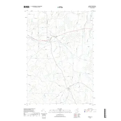
2019 Map of Mooers
USGS Topo · Published 2019About this map
Mooers serves as the primary hub in this northern Clinton County landscape, situated where the Great Chazy River flows toward a prominent Oxbow and the wetlands of The Vly. The settlement pattern reflects a deeply rooted community, with several family and local burial grounds including Riverside Cem, Saint Josephs Cem, and Mills Cem scattered near the watercourses. To the south, the smaller hamlet of Sciola is surrounded by Jennett Cem and Dragoon Cem, illustrating the importance of early 20th-century road networks like Co RD 23 and Gonyea Rd. Numerous tributaries such as Sperry Brook, Shedden Brook, and Bullis Brook define the drainage of this borderlands region, creating a patchwork of woods and clearings that characterize the area's agricultural and rural heritage.
Find a feature on this map
66 named features on this map. Tap any name to fly to it.
Don’t see what you’re looking for? This feature index may not catch every label — zoom into the map to look around manually.
Map Details
Editions of this 2019 Mooers Map
This is the sole edition of this map. No revisions or reprints were ever made.
Other maps of this area

1895 · Mooers
USGS Topo · 1:62,500

1895 · Rouse Point
USGS Topo · 1:62,500

1899 · Mooers
USGS Topo · 1:62,500

1907 · Rouse Point
USGS Topo · 1:62,500

1939 · Rouses Point
USGS Topo · 1:62,500

1942 · Mooers
USGS Topo · 1:62,500

1943 · Mooers
USGS Topo · 1:62,500

1943 · Rouses Point
USGS Topo · 1:62,500

1950 · Lake Champlain
USGS Topo · 1:250,000

1956 · Rouses Point
USGS Topo · 1:62,500