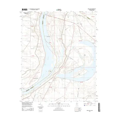
2015 Map of Moon Lake
USGS Topo · Published 2015About this map
Helena-West Helena sits on the western banks of the Mississippi River where the Arkansas and Mississippi state lines follow the shifting channel. The landscape is defined by the river’s historical movement, evidenced by the series of oxbow features and bars including Montezuma Bar, Montezuma Bend, and the Montezuma Cut-Off. These hydrological shifts have created significant landforms like Alcorn Island and Texas Island, which remain prominent even as the river bypasses them.
Find a feature on this map
60 named features on this map. Tap any name to fly to it.
Don’t see what you’re looking for? This feature index may not catch every label — zoom into the map to look around manually.
Map Details
Editions of this 2015 Moon Lake Map
This is the sole edition of this map. No revisions or reprints were ever made.
Other maps of this area

1908 · Lula
USGS Topo · 1:24,000

1908 · Dundee
USGS Topo · 1:24,000

1908 · Coahoma
USGS Topo · 1:24,000

1908 · Moon Lake
USGS Topo · 1:24,000

1908 · Jonestown
USGS Topo · 1:24,000

1910 · Dundee
USGS Topo · 1:31,680

1910 · Coahoma
USGS Topo · 1:31,680

1910 · Jonestown
USGS Topo · 1:31,680

1912 · Moon Lake
USGS Topo · 1:31,680

1912 · Lula
USGS Topo · 1:31,680