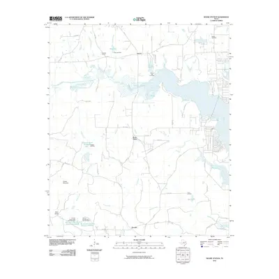
2010 Map of Moore Station
USGS Topo · Published 2010About this map
Moore Station and the surrounding Henderson County countryside are defined by an intricate network of small lakes and creek branches in this 2010 survey. The landscape is dotted with several notable water impoundments, including Frontier City Lake, Rodgers Lake, and Hurts Lake, alongside more industrial features such as the Tex Iron Incorporated Reservoir Number 1. These water resources, fed by tributaries like Boggy Creek and Caney Creek, suggest a local economy and landscape closely tied to water management and perhaps former industrial sites.
Find a feature on this map
67 named features on this map. Tap any name to fly to it.
Don’t see what you’re looking for? This feature index may not catch every label — zoom into the map to look around manually.
Map Details
Editions of this 2010 Moore Station Map
This is the sole edition of this map. No revisions or reprints were ever made.
Other maps of this area

1946 · Bullard
USGS Topo · 1:62,500

1948 · Bullard
USGS Topo · 1:62,500

1948 · Tyler
USGS Topo · 1:62,500

1948 · Brownsboro
USGS Topo · 1:62,500

1949 · Tyler
USGS Topo · 1:62,500

1949 · Brownsboro
USGS Topo · 1:62,500

1949 · Frankston
USGS Topo · 1:62,500

1950 · Frankston
USGS Topo · 1:62,500

1956 · Tyler
USGS Topo · 1:250,000

1966 · Chandler
USGS Topo · 1:24,000