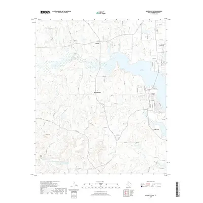
2019 Map of Moore Station
USGS Topo · Published 2019About this map
Lake Palestine dominates the eastern landscape of this Henderson County region, where the wooded hills of East Texas meet significant water features. The small settlements of Antioch and Moore Station are situated along the FM 314 and FM 317 corridors, while Coffee City sits further southeast near the lake's edge. The area is defined by a dense network of creeks and branches, including Tindel Cr, Gum Br, and Highsaw Cr, which feed into the larger reservoir system.
Find a feature on this map
94 named features on this map. Tap any name to fly to it.
Don’t see what you’re looking for? This feature index may not catch every label — zoom into the map to look around manually.
Map Details
Editions of this 2019 Moore Station Map
This is the sole edition of this map. No revisions or reprints were ever made.
Other maps of this area

1946 · Bullard
USGS Topo · 1:62,500

1948 · Bullard
USGS Topo · 1:62,500

1948 · Tyler
USGS Topo · 1:62,500

1948 · Brownsboro
USGS Topo · 1:62,500

1949 · Tyler
USGS Topo · 1:62,500

1949 · Brownsboro
USGS Topo · 1:62,500

1949 · Frankston
USGS Topo · 1:62,500

1950 · Frankston
USGS Topo · 1:62,500

1956 · Tyler
USGS Topo · 1:250,000

1966 · Chandler
USGS Topo · 1:24,000