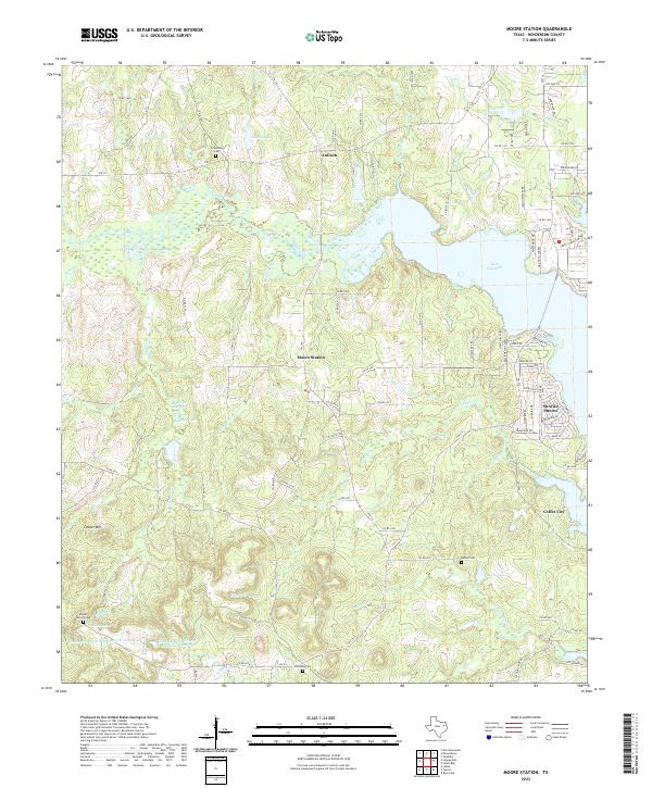
2022 Map of Moore Station
USGS Topo · Published 2022About this map
The sprawling shoreline of Lake Palestine dominates this landscape in Henderson County, illustrating the modern geography of East Texas. The map details the residential expansion near the water, particularly around Coffee City and the communities of Sunrise Shores and Moore Station. These newer developments contrast with the area's rural foundations, evidenced by historic burial grounds like Friendship Cem near the northern settlement of Antioch and Fincastle Cem to the south.
Find a feature on this map
96 named features on this map. Tap any name to fly to it.
Don’t see what you’re looking for? This feature index may not catch every label — zoom into the map to look around manually.
Map Details
Editions of this 2022 Moore Station Map
This is the sole edition of this map. No revisions or reprints were ever made.
Other maps of this area

1946 · Bullard
USGS Topo · 1:62,500

1948 · Bullard
USGS Topo · 1:62,500

1948 · Tyler
USGS Topo · 1:62,500

1948 · Brownsboro
USGS Topo · 1:62,500

1949 · Tyler
USGS Topo · 1:62,500

1949 · Brownsboro
USGS Topo · 1:62,500

1949 · Frankston
USGS Topo · 1:62,500

1950 · Frankston
USGS Topo · 1:62,500

1956 · Tyler
USGS Topo · 1:250,000

1966 · Chandler
USGS Topo · 1:24,000