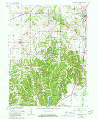
1965 Map of Mooresville West
USGS Topo · Published 1981About this map
The White River and Conrail rail line anchor the eastern edge of this Morgan County landscape, which shows the growth of Mooresville and smaller rural communities during the mid-1960s. The terrain transitions from the river bottomlands up into the hills, where several family-named high points like Maxwell Hill and Robb Hill overlook a network of creek valleys. Genealogists will find numerous landmarks of the era, including the West Union Ch, Highland Cem, and Beech Grove Cem.
Find a feature on this map
71 named features on this map. Tap any name to fly to it.
Don’t see what you’re looking for? This feature index may not catch every label — zoom into the map to look around manually.
Map Details
Editions of this 1965 Mooresville West Map
3 editions found
Other maps of this area

1942 · Franklin
USGS Topo · 1:125,000

1953 · Bridgeport
USGS Topo · 1:24,000

1953 · Clayton
USGS Topo · 1:24,000

1953 · Plainfield
USGS Topo · 1:24,000

1953 · Indianapolis
USGS Topo · 1:250,000

1955 · Hall
USGS Topo · 1:24,000

1955 · Cope
USGS Topo · 1:24,000

1955 · Mooresville West
USGS Topo · 1:24,000

1955 · Martinsville
USGS Topo · 1:24,000

1955 · Mooresville East
USGS Topo · 1:24,000