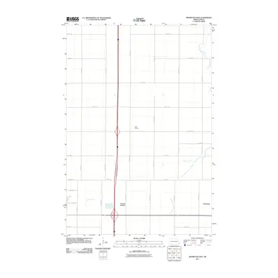
2011 Map of Mooreton East
USGS Topo · Published 2011About this map
Antelope Creek and its tributary, the South Branch Antelope Creek, wind through this section of the Red River Valley in Richland County. The landscape is defined by the rigid grid of the Public Land Survey System, with numbered roads like 170th Ave SE and 73rd St SE marking the agricultural sections. In the early 21st century, transportation remains centered on the major north-south corridor through Fairview Junction, while smaller local hubs like Farmington anchor the rural community. The presence of Ness Airstrip provides a rare break in the geometric patchwork of fields, serving the aviation needs of this remote farming region. This survey captures a moment in the modern evolution of the plains, where legacy farmstead names persist alongside contemporary infrastructure.
Find a feature on this map
24 named features on this map. Tap any name to fly to it.
Don’t see what you’re looking for? This feature index may not catch every label — zoom into the map to look around manually.
Map Details
Editions of this 2011 Mooreton East Map
This is the sole edition of this map. No revisions or reprints were ever made.
Other maps of this area

1904 · Wahpeton
USGS Topo · 1:125,000

1953 · Fargo
USGS Topo · 1:250,000

1956 · Fargo
USGS Topo · 1:250,000

1959 · Mooreton NW
USGS Topo · 1:24,000

1960 · Galchutt
USGS Topo · 1:24,000

1960 · Mooreton West
USGS Topo · 1:24,000

1960 · Mooreton East
USGS Topo · 1:24,000

1964 · Fairmount NW
USGS Topo · 1:24,000

1964 · Mantador
USGS Topo · 1:24,000

1964 · Great Bend
USGS Topo · 1:24,000