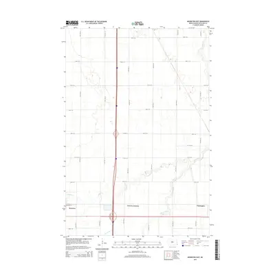
2014 Map of Mooreton East
USGS Topo · Published 2014About this map
Mooreton and the surrounding agricultural lands of Richland County are defined by a strictly organized section-line road network and the meandering course of Antelope Creek. In this 2014 landscape, the intersection of modern transportation and traditional rural settlements is visible at Fairview Junction and the small community of Farmington. The terrain is predominantly flat, typical of the Red River Valley, with the hydrological system of Antelope Cr and the S Br Antelope Cr cutting across the geometric grid of avenues and streets. While the area maintains its rural character, localized developments such as Industrial Dr near the edge of town suggest the evolving economic use of the land adjacent to major transit corridors.
Find a feature on this map
24 named features on this map. Tap any name to fly to it.
Don’t see what you’re looking for? This feature index may not catch every label — zoom into the map to look around manually.
Map Details
Editions of this 2014 Mooreton East Map
This is the sole edition of this map. No revisions or reprints were ever made.
Other maps of this area

1904 · Wahpeton
USGS Topo · 1:125,000

1953 · Fargo
USGS Topo · 1:250,000

1956 · Fargo
USGS Topo · 1:250,000

1959 · Mooreton NW
USGS Topo · 1:24,000

1960 · Galchutt
USGS Topo · 1:24,000

1960 · Mooreton West
USGS Topo · 1:24,000

1960 · Mooreton East
USGS Topo · 1:24,000

1964 · Fairmount NW
USGS Topo · 1:24,000

1964 · Mantador
USGS Topo · 1:24,000

1964 · Great Bend
USGS Topo · 1:24,000