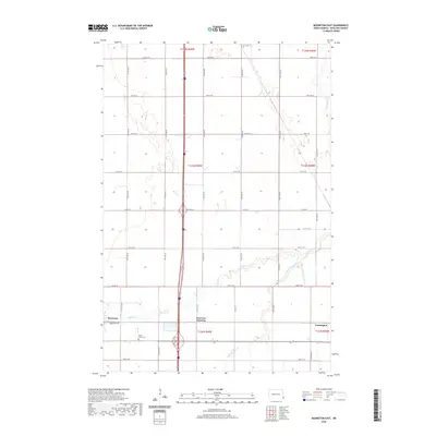
2020 Map of Mooreton East
USGS Topo · Published 2020About this map
Mooreton stands at the western edge of this Richland County landscape, where the prairie grid meets the winding course of Antelope Cr. The map reflects a modern rural environment defined by straight-line section roads like 72nd St SE and 175th Ave SE, which segment the agricultural terrain. For those researching family history, the Saint Paul's Cem is a primary landmark near the intersection of several local routes. The settlement pattern is anchored by Fairview Junction and Farmington, showing how transportation hubs have shaped this corner of North Dakota. The drainage of the S Br Antelope Cr provides the only break in the geometric regularity of the county's road system, illustrating the persistence of natural waterways in a heavily managed landscape.
Find a feature on this map
33 named features on this map. Tap any name to fly to it.
Don’t see what you’re looking for? This feature index may not catch every label — zoom into the map to look around manually.
Map Details
Editions of this 2020 Mooreton East Map
This is the sole edition of this map. No revisions or reprints were ever made.
Other maps of this area

1904 · Wahpeton
USGS Topo · 1:125,000

1953 · Fargo
USGS Topo · 1:250,000

1956 · Fargo
USGS Topo · 1:250,000

1959 · Mooreton NW
USGS Topo · 1:24,000

1960 · Galchutt
USGS Topo · 1:24,000

1960 · Mooreton West
USGS Topo · 1:24,000

1960 · Mooreton East
USGS Topo · 1:24,000

1964 · Fairmount NW
USGS Topo · 1:24,000

1964 · Mantador
USGS Topo · 1:24,000

1964 · Great Bend
USGS Topo · 1:24,000