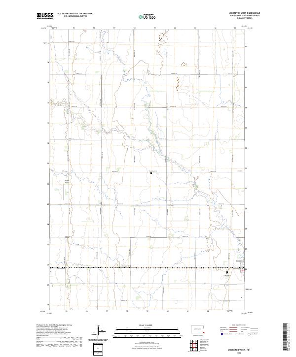
2024 Map of Mooreton West
USGS Topo · Published 2024About this map
Antelope Creek meanders southeast across this section of Richland County, defining the drainage patterns of an otherwise strictly gridded agricultural landscape. The settlement of Mooreton sits at the eastern edge of the quadrangle, where modern developments such as Industrial Dr meet the established town center. This survey provides a precise view of rural infrastructure, including the Moffet Airstrip and a network of section-line roads like Red River Ave. For those tracing local heritage, the map clearly identifies significant community landmarks like the Antelope Cem and Saint Anthonys Cem, which serve as permanent anchors for the surrounding farmsteads and rural townships.
Find a feature on this map
32 named features on this map. Tap any name to fly to it.
Don’t see what you’re looking for? This feature index may not catch every label — zoom into the map to look around manually.
Map Details
Editions of this 2024 Mooreton West Map
This is the sole edition of this map. No revisions or reprints were ever made.
Other maps of this area

1904 · Wahpeton
USGS Topo · 1:125,000

1907 · Wyndmere
USGS Topo · 1:125,000

1953 · Fargo
USGS Topo · 1:250,000

1956 · Fargo
USGS Topo · 1:250,000

1959 · Wyndmere NE
USGS Topo · 1:24,000

1959 · Mooreton NW
USGS Topo · 1:24,000

1960 · Galchutt
USGS Topo · 1:24,000

1960 · Mooreton West
USGS Topo · 1:24,000

1960 · Wyndmere SE
USGS Topo · 1:24,000

1960 · Mooreton East
USGS Topo · 1:24,000