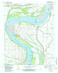
1971 Map of Mooring
USGS Topo · Published 1983About this map
The Mississippi River dominates this 1971 landscape, showing the complex shifting shoreline and towheads along the Missouri Tennessee border. This survey, photorevised in 1983, documents the precarious geography of the river bottoms, where an Indefinite Boundary separates the two states amidst a network of chutes and bayous. In the settlement of Mooring, the Mooring Cem stands near the banks of Mooring Bayou, illustrating the local reliance on the high ground provided by the Levee system. To the north, the small community of Stewart and its nearby Stewart Cem sit near Stanell Bayou. The presence of several family-named landmarks like Joe Eckles Towhead and Wagner Cem provides significant detail for genealogists tracing ancestors in the Concord district during this era of modern river management.
Find a feature on this map
30 named features on this map. Tap any name to fly to it.
Don’t see what you’re looking for? This feature index may not catch every label — zoom into the map to look around manually.
Map Details
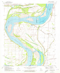
Editions of this 1971 Mooring Map
2 editions found
Other maps of this area

1925 · Reelfoot Lake
USGS Topo · 1:62,500

1939 · Reelfoot Lake
USGS Topo · 1:62,500

1939 · Portageville
USGS Topo · 1:62,500

1939 · Dyersburg
USGS Topo · 1:62,500

1939 · Caruthersville
USGS Topo · 1:62,500

1951 · Caruthersville
USGS Topo · 1:62,500

1952 · Miston
USGS Topo · 1:24,000

1955 · Portageville
USGS Topo · 1:62,500

1956 · Reelfoot Lake
USGS Topo · 1:62,500

1956 · Dyersburg
USGS Topo · 1:250,000