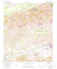
1951 Map of Moorpark
USGS Topo · Published 1978About this map
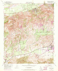
The Santa Clara River forms the northern boundary of this 1950s survey, anchoring a landscape defined by deep-cut canyons and expansive arroyos. The agricultural settlement of Bardsdale sits just south of the river, marked by the Bardsdale Cem and a dense network of orchards and water wells. To the south, the terrain rises sharply into Oak Ridge, where early industrial activity is visible through several Quarry sites and a Rock Quarry.
Find a feature on this map
39 named features on this map. Tap any name to fly to it.
Don’t see what you’re looking for? This feature index may not catch every label — zoom into the map to look around manually.
Map Details
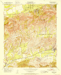
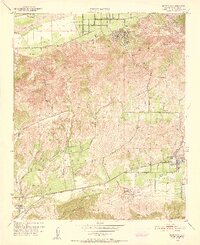
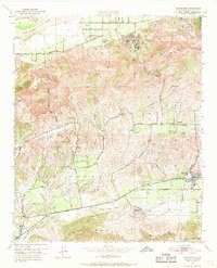
Editions of this 1951 Moorpark Map
5 editions found
Other maps of this area

1900 · Triunfo Pass
USGS Topo · 1:62,500

1900 · Piru
USGS Topo · 1:62,500

1903 · Santa Paula
USGS Topo · 1:62,500

1903 · Camulos
USGS Topo · 1:125,000

1904 · Hueneme
USGS Topo · 1:62,500

1921 · Piru
USGS Topo · 1:62,500

1921 · Triunfo Pass
USGS Topo · 1:62,500

1941 · Piru
USGS Topo · 1:62,500

1942 · Santa Paula
USGS Topo · 1:62,500

1942 · Hueneme
USGS Topo · 1:62,500