
1968 Map of Moose
USGS Topo · Published 1971About this map
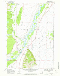
Snake River braids through the center of this landscape, defining the geographic heart of Grand Teton National Park in the late 1960s. The settlement of Moose serves as a focal point near the Park Headquarters Visitor Center, while the presence of the Chapel of the Transfiguration and historic Menors Ferry reflects the area's spiritual and transportation history. To the east, the agricultural legacy of the valley is visible along Mormon Row and the expansive Antelope Flats, where Ditch Creek cuts through the level terrain. On the west side of the river, the transition from the valley floor to the base of the mountains is marked by Timbered Island and a network of pathways like the Lupine Trail and Valley Trail. Landmarks such as the Bar B C Ranch and various turnouts along the Teton Park Road show the area as it functioned before modern park development matured.
Find a feature on this map
39 named features on this map. Tap any name to fly to it.
Don’t see what you’re looking for? This feature index may not catch every label — zoom into the map to look around manually.
Map Details
Editions of this 1968 Moose Map
2 editions found
Other maps of this area

1899 · Grand Teton
USGS Topo · 1:125,000

1901 · Grand Teton
USGS Topo · 1:125,000

1955 · Driggs
USGS Topo · 1:250,000

1958 · Driggs
USGS Topo · 1:250,000

1962 · Driggs
USGS Topo · 1:250,000
1968 · Teton Village
USGS Topo · 1:24,000
1968 · Blue Miner Lake
USGS Topo · 1:24,000
1968 · Shadow Mountain
USGS Topo · 1:24,000
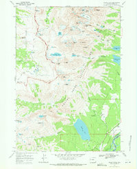
1968 · Grand Teton
USGS Topo · 1:24,000
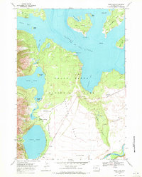
1968 · Jenny Lake
USGS Topo · 1:24,000