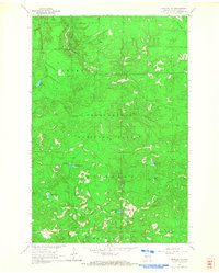
1964 Map of Moquah NW
USGS Topo · Published 1965About this map
Chequamegon National Forest dominates this landscape in northern Wisconsin, captured during a mid-1960s survey that emphasizes the region's timber and water resources. The terrain is defined by a dense network of glacial lakes and wetlands, including Sunken Camp Lakes, Lake Lenawee, and Horseshoe Lake. The East Fork Cranberry River meanders through the northwestern sections, providing drainage for the heavily wooded interior.
Find a feature on this map
16 named features on this map. Tap any name to fly to it.
Don’t see what you’re looking for? This feature index may not catch every label — zoom into the map to look around manually.
Map Details
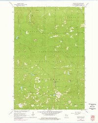
Editions of this 1964 Moquah NW Map
3 editions found
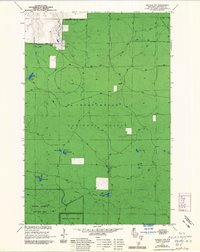
Other maps of this area

1943 · Port Wing
USGS Topo · 1:48,000

1943 · Iron Lake
USGS Topo · 1:48,000

1944 · Moquah
USGS Topo · 1:48,000

1944 · Cornucopia
USGS Topo · 1:48,000

1946 · Cornucopia
USGS Topo · 1:48,000

1946 · Port Wing
USGS Topo · 1:48,000

1947 · Moquah
USGS Topo · 1:48,000

1947 · Iron Lake
USGS Topo · 1:48,000

1953 · Ashland
USGS Topo · 1:250,000

1958 · Ashland
USGS Topo · 1:250,000