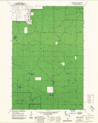
1964 Map of Moquah NW
USGS Topo · Published 1985About this map
The Washburn Ranger District defines this portion of the Chequamegon National Forest, where the landscape is shaped by the glacial history and early timber extraction of northern Wisconsin. The presence of an Old Railroad Grade running through the northeastern and southern sections of the quadrangle points to the era when industrial logging dominated the region, leaving behind a network of paths now used for forest management. This 1964 survey, updated in the mid-1970s, captures a transition toward conservation, marked by the establishment of the Moquah Barrens Wildlife Area and Moquah Natural Area. These protected zones highlight the unique Moquah Barrens ecology. Scattered throughout the forest are numerous kettle lakes and waterways, including Sunken Camp Lakes, Lake Lenawee, and the headwaters of the East Fork Cranberry River, which provide a detailed look at the hydrology of the sand plain before modern development.
Find a feature on this map
19 named features on this map. Tap any name to fly to it.
Don’t see what you’re looking for? This feature index may not catch every label — zoom into the map to look around manually.
Map Details
Editions of this 1964 Moquah NW Map
3 editions found
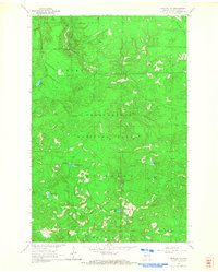
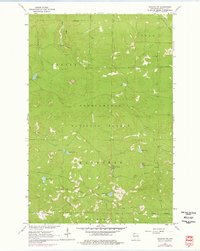
Other maps of this area

1943 · Port Wing
USGS Topo · 1:48,000

1943 · Iron Lake
USGS Topo · 1:48,000

1944 · Moquah
USGS Topo · 1:48,000

1944 · Cornucopia
USGS Topo · 1:48,000

1946 · Cornucopia
USGS Topo · 1:48,000

1946 · Port Wing
USGS Topo · 1:48,000

1947 · Moquah
USGS Topo · 1:48,000

1947 · Iron Lake
USGS Topo · 1:48,000

1953 · Ashland
USGS Topo · 1:250,000

1958 · Ashland
USGS Topo · 1:250,000