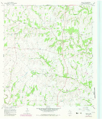
1965 Map of Moravia
USGS Topo · Published 1982About this map
Old Kinkler Community Hall stands as a central landmark in this mid-1960s survey of north-central Lavaca County. The landscape is defined by the branching tributaries of the Lavaca River and West Navidad River, which carve through the terrain near small crossroads settlements like Moravia and Hackberry. For family historians, the sheet provides precise locations for the Andrew Chapel Cem, Williams Cem, and several rural houses of worship including Willow Spring Ch and St Paul Ch.
Find a feature on this map
29 named features on this map. Tap any name to fly to it.
Don’t see what you’re looking for? This feature index may not catch every label — zoom into the map to look around manually.
Map Details
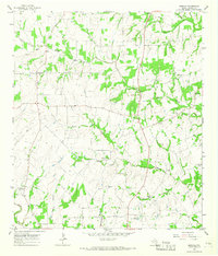
Editions of this 1965 Moravia Map
2 editions found
Other maps of this area

1901 · Flatonia
USGS Topo · 1:125,000

1919 · Schulenburg
USGS Topo · 1:62,500

1953 · Seguin
USGS Topo · 1:250,000

1958 · Seguin
USGS Topo · 1:250,000

1962 · Sublime
USGS Topo · 1:24,000

1962 · Hallettsville
USGS Topo · 1:24,000

1965 · Oakland
USGS Topo · 1:24,000
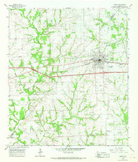
1965 · Weimar
USGS Topo · 1:24,000

1965 · Schulenburg
USGS Topo · 1:24,000

1965 · Wied
USGS Topo · 1:24,000