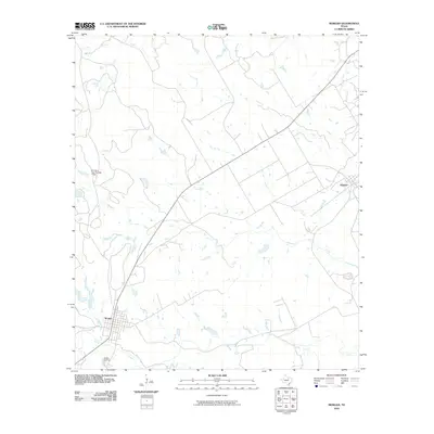
2010 Map of Morgan
USGS Topo · Published 2010About this map
Morgan and Kopperl anchor this Bosque County landscape, where the local street grids and infrastructure of the early 21st century are clearly defined. The terrain is deeply inscribed by a network of drainage systems, with Steele Creek winding past the southern edge of Morgan and Mesquite Creek flowing through the central plains. These watercourses, along with Spring Creek and Plowman Creek, dictate the rural road patterns and property boundaries that have evolved over generations. Cultural landmarks such as the Morgan Cemetery and the El Colina Lake Number 7 Dam provide specific points of interest for those documenting local family history or land management. The map illustrates the convergence of small-town Texas life with a complex hydraulic landscape of branches and creeks, offering a precise view of the county's physical and social layout.
Find a feature on this map
10 named features on this map. Tap any name to fly to it.
Don’t see what you’re looking for? This feature index may not catch every label — zoom into the map to look around manually.
Map Details
Editions of this 2010 Morgan Map
This is the sole edition of this map. No revisions or reprints were ever made.
Other maps of this area

1888 · Meridian
USGS Topo · 1:125,000

1889 · Granbury
USGS Topo · 1:125,000

1891 · Cleburne
USGS Topo · 1:125,000

1892 · Waco
USGS Topo · 1:125,000

1894 · Meridian
USGS Topo · 1:125,000

1894 · Cleburne
USGS Topo · 1:125,000

1920 · Waco
USGS Topo · 1:125,000

1924 · Cleburne 3-B
USGS Topo · 1:48,000

1924 · Waco 2-b
USGS Topo · 1:48,000

1924 · Cleburne 3-C
USGS Topo · 1:48,000