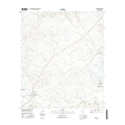
2016 Map of Morgan
USGS Topo · Published 2016About this map
The town of Morgan serves as a primary hub in this central Texas landscape, characterized by the winding tributaries that feed toward the Brazos River valley. The local geography is defined by a series of prominent waterways including Steele Cr, Plowman Cr, and Mesquite Cr, which carve through the terrain toward the shores of Lake Whitney. To the southeast, the Powelldale Mountains rise above the surrounding plains, providing a distinct topographical contrast to the low-lying basins of Frog Hollow. This 2016 survey captures the area's rural aviation and ranching character, evidenced by the presence of Boyd Airport and the Diamond Seven Ranch Airport. Local history is anchored at the Morgan Cem on the outskirts of town, while the smaller settlement of Kopperl occupies the northeastern reaches near the lake, connected by a network of farm-to-market roads and county routes that trace the early development of Bosque County.
Find a feature on this map
62 named features on this map. Tap any name to fly to it.
Don’t see what you’re looking for? This feature index may not catch every label — zoom into the map to look around manually.
Map Details
Editions of this 2016 Morgan Map
This is the sole edition of this map. No revisions or reprints were ever made.
Other maps of this area

1888 · Meridian
USGS Topo · 1:125,000

1889 · Granbury
USGS Topo · 1:125,000

1891 · Cleburne
USGS Topo · 1:125,000

1892 · Waco
USGS Topo · 1:125,000

1894 · Meridian
USGS Topo · 1:125,000

1894 · Cleburne
USGS Topo · 1:125,000

1920 · Waco
USGS Topo · 1:125,000

1924 · Cleburne 3-B
USGS Topo · 1:48,000

1924 · Waco 2-b
USGS Topo · 1:48,000

1924 · Cleburne 3-C
USGS Topo · 1:48,000