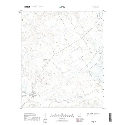
2019 Map of Morgan
USGS Topo · Published 2019About this map
Morgan and Kopperl anchor this region of northern Bosque County, where the landscape transitions through the rolling hills of the Powelldale Mountains. The area is defined by a dense network of seasonal and permanent waterways, including the winding courses of Steele Cr, Plowman Cr, and Mesquite Cr. This 2019 survey documents a rural landscape where aviation and ranching coexist, evidenced by facilities like Boyd Airport and the Diamond Seven Ranch Airport.
Find a feature on this map
60 named features on this map. Tap any name to fly to it.
Don’t see what you’re looking for? This feature index may not catch every label — zoom into the map to look around manually.
Map Details
Editions of this 2019 Morgan Map
This is the sole edition of this map. No revisions or reprints were ever made.
Other maps of this area

1888 · Meridian
USGS Topo · 1:125,000

1889 · Granbury
USGS Topo · 1:125,000

1891 · Cleburne
USGS Topo · 1:125,000

1892 · Waco
USGS Topo · 1:125,000

1894 · Meridian
USGS Topo · 1:125,000

1894 · Cleburne
USGS Topo · 1:125,000

1920 · Waco
USGS Topo · 1:125,000

1924 · Cleburne 3-B
USGS Topo · 1:48,000

1924 · Waco 2-b
USGS Topo · 1:48,000

1924 · Cleburne 3-C
USGS Topo · 1:48,000