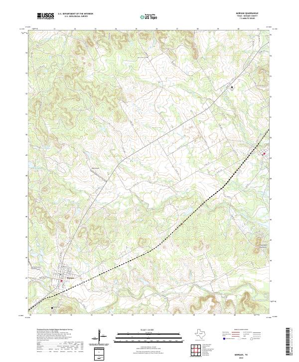
2022 Map of Morgan
USGS Topo · Published 2022About this map
Morgan serves as the central settlement in this portion of Bosque County, situated at the junction of Farm Rd 927 and several county routes. The town’s history is anchored by the Morgan Cem to the south, while the Kimball Cem sits to the northeast, offering important points of reference for genealogists. The terrain is defined by the drainage basins of Plowman Cr, Raymond Cr, and Steele Cr, which carve through the Texas landscape toward the Powelldale Mountains in the southeast.
Find a feature on this map
61 named features on this map. Tap any name to fly to it.
Don’t see what you’re looking for? This feature index may not catch every label — zoom into the map to look around manually.
Map Details
Editions of this 2022 Morgan Map
This is the sole edition of this map. No revisions or reprints were ever made.
Other maps of this area

1888 · Meridian
USGS Topo · 1:125,000

1889 · Granbury
USGS Topo · 1:125,000

1891 · Cleburne
USGS Topo · 1:125,000

1892 · Waco
USGS Topo · 1:125,000

1894 · Meridian
USGS Topo · 1:125,000

1894 · Cleburne
USGS Topo · 1:125,000

1920 · Waco
USGS Topo · 1:125,000

1924 · Cleburne 3-B
USGS Topo · 1:48,000

1924 · Waco 2-b
USGS Topo · 1:48,000

1924 · Cleburne 3-C
USGS Topo · 1:48,000