Loading...
Loading map...1966 Map of Morgan
USGS Topo · Published 1991About this map
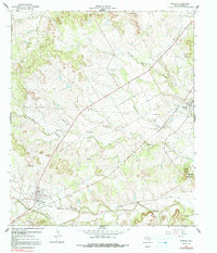
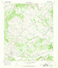
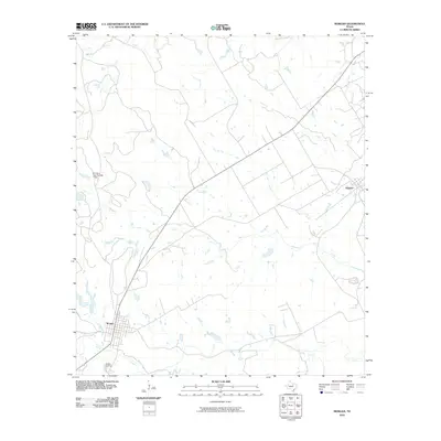
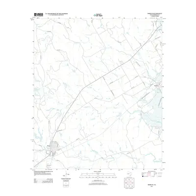
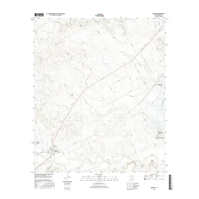
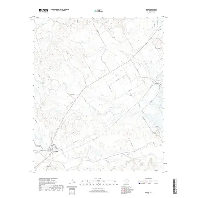
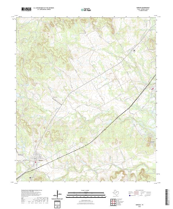
Steele Creek and Mesquite Creek wind through the heart of Bosque County, defining a landscape of agricultural utility and small-town Texas life. This mid-century survey captures Morgan as a key rail point, with the Morgan Cem situated on its western outskirts and an Old Railroad Grade indicating shifts in transportation patterns. To the northeast, the settlement of Kopperl rests near the Powelldale Mountains, while the presence of a private Landing Strip and multiple Pipelines underscores the region's modernization.
Find a feature on this map
18 named features on this map. Tap any name to fly to it.
Don’t see what you’re looking for? This feature index may not catch every label — zoom into the map to look around manually.
Map Details
Date Portrayed1966
Date Published1991
PublisherU.S. Geological Survey
Map TypeTopographic
Scale1:24,000
Physical Dimensions23 x 26.9 inches
Editions of this 1966 Morgan Map
2 editions found
Historical Maps of Morgan Through Time
7 maps found
Featured Locations
Source Details
SourceU.S. Geological Survey
CopyrightPublic Domain