
1935 Map of Morgan Harbor
USGS Topo · Published 1935About this map
Bayou La Loutre cuts through the marshy landscape of St. Bernard Parish, illustrating the complex hydrology of coastal Louisiana before mid-century environmental changes. This 1935 survey, based on aerial photography from the U. S. Army Air Corps, captures a world of labyrinthine waterways and named coastal features. Landmarks such as Comfort Island and Chicot Island sit amidst the expansive Chandeleur Sound, while interior waters like Skiff Lake and Christmas Camp Lake dominate the northern terrain. The map is particularly valuable for its detail on the numerous named points and passes, such as Deadman Pt and Chicot Pass, which were essential for navigation in the era of early aviation and marine commerce. The inclusion of General Land Office records provides a layer of property history over the shifting wetlands, showing the intersection of legal boundaries with the natural flow of Otter Bayou and Treasure Bay.
Find a feature on this map
31 named features on this map. Tap any name to fly to it.
Don’t see what you’re looking for? This feature index may not catch every label — zoom into the map to look around manually.
Map Details
Editions of this 1935 Morgan Harbor Map
This is the sole edition of this map. No revisions or reprints were ever made.
Other maps of this area

1893 · La Fortuna
USGS Topo · 1:62,500

1893 · Chandeleur
USGS Topo · 1:62,500

1895 · Bodreau
USGS Topo · 1:62,500

1935 · Lake Athanasio
USGS Topo · 1:31,680

1935 · Mitchell Keys
USGS Topo · 1:31,680

1946 · Oak Mound Bayou
USGS Topo · 1:31,680

1946 · Lake Eugenie
USGS Topo · 1:31,680
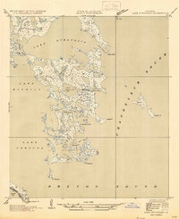
1947 · Lake Athanasio
USGS Topo · 1:31,680
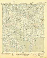
1947 · Lake Eloi
USGS Topo · 1:31,680
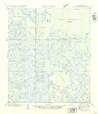
1954 · Lake Eugenie
USGS Topo · 1:31,680