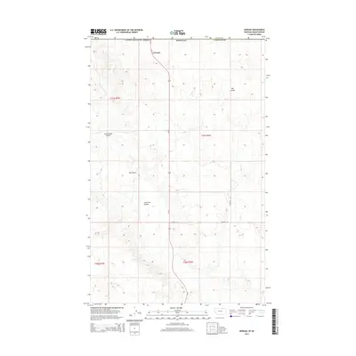
2014 Map of Morgan
USGS Topo · Published 2014About this map
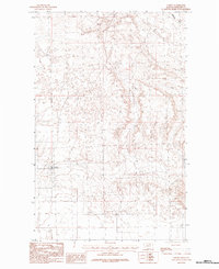
Morgan sits at the northern edge of this high-plains landscape, situated along the international boundary where the United States of America meets Canada. This 2014 survey captures a remote section of Phillips County, defined by the dramatic drainage patterns of Big Coulee, Cottonwood Coulee, and Lone Tree Coulee. These deep natural depressions carve through the terrain, illustrating the hydrologic character of the northern Montana range. Transportation in this quiet border region is anchored by Us-191, which runs north-south through the center of the sheet toward the port of entry. Secondary routes like Border Rd and Mcmullen Rd provide access to the vast ranching tracts of Township 37 North, where the township and range system creates a stark grid over the undulating land.
Find a feature on this map
14 named features on this map. Tap any name to fly to it.
Don’t see what you’re looking for? This feature index may not catch every label — zoom into the map to look around manually.
Map Details
Editions of this 2014 Morgan Map
This is the sole edition of this map. No revisions or reprints were ever made.
Other maps of this area

1920 · Cowan
USGS Topo · 1:125,000

1954 · Glasgow
USGS Topo · 1:250,000

1957 · Glasgow
USGS Topo · 1:250,000

1958 · Glasgow
USGS Topo · 1:250,000

1984 · Whitewater West
USGS Topo · 1:24,000

1984 · Morgan
USGS Topo · 1:24,000
1984 · Loring NW
USGS Topo · 1:24,000
1984 · Martin Lake
USGS Topo · 1:24,000
1984 · Gustin Coulee
USGS Topo · 1:24,000
1984 · Loring
USGS Topo · 1:24,000