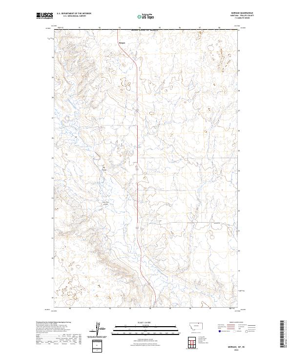
2024 Map of Morgan
USGS Topo · Published 2024About this map
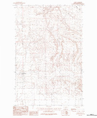
Morgan serves as a lone settlement point in this northern reach of Phillips County, situated just below the international boundary with Canada. The landscape is defined by the winding course of Whitewater Creek, which carves through the undulating prairie of north-central Montana. Significant drainage features like Big Coulee and Lone Tree Coulee break the terrain, indicating a seasonal water system typical of this arid region. The road network is sparse, centered on the primary north-south artery and the appropriately named Border Rd which runs parallel to the national line. This area reflects a quiet, modern ranching and borderlands geography where township lines like t37n r29e and t36n r30e delineate vast stretches of open land managed for agricultural and conservation purposes.
Find a feature on this map
10 named features on this map. Tap any name to fly to it.
Don’t see what you’re looking for? This feature index may not catch every label — zoom into the map to look around manually.
Map Details
Editions of this 2024 Morgan Map
This is the sole edition of this map. No revisions or reprints were ever made.
Other maps of this area

1920 · Cowan
USGS Topo · 1:125,000

1954 · Glasgow
USGS Topo · 1:250,000

1957 · Glasgow
USGS Topo · 1:250,000

1958 · Glasgow
USGS Topo · 1:250,000

1984 · Whitewater West
USGS Topo · 1:24,000

1984 · Morgan
USGS Topo · 1:24,000
1984 · Loring NW
USGS Topo · 1:24,000
1984 · Martin Lake
USGS Topo · 1:24,000
1984 · Gustin Coulee
USGS Topo · 1:24,000
1984 · Loring
USGS Topo · 1:24,000