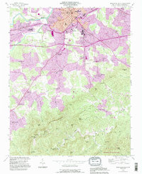
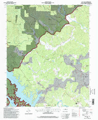
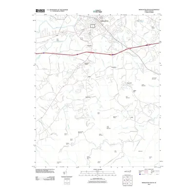
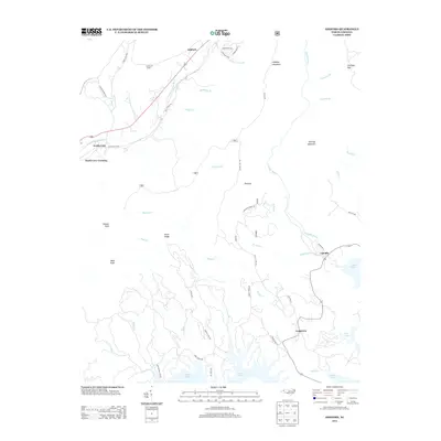
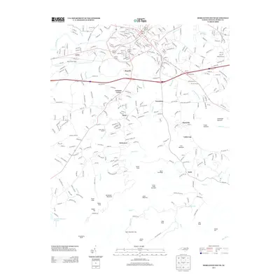
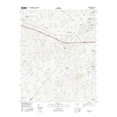
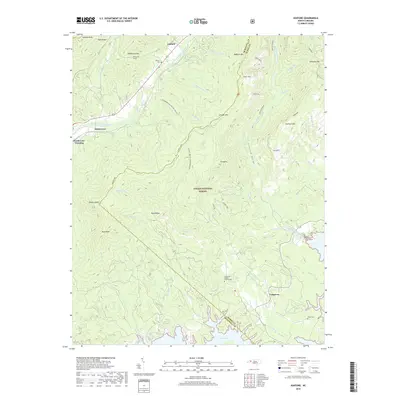
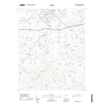
1956 Map of Morganton North
USGS Topo · Published 1966About this map
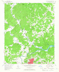
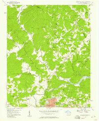
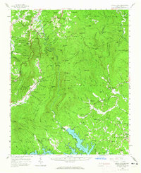
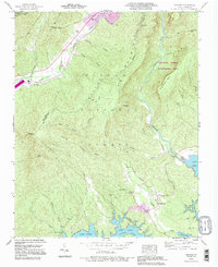
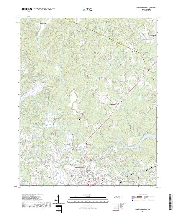
The Johns River and Warrior Fork converge north of Morganton, defining a landscape of deep river bends and rural congregations in mid-century Burke County. This era shows the northern expansion of the city towards Perkinsville and the industrial infrastructure of the Filtration Plant near the Catawba River. To the east, the Rhodhiss Lake backwaters reach toward Chesterfield, while the Southern railroad line skirts the southern edge of the map, serving as a vital transport corridor. The map is particularly rich for genealogical research, documenting numerous rural landmarks such as Corpening Sch, Arneys Store, and a dense network of country churches including St Marys Mission Ch, Littlejohn Ch, and El Bethel Ch. These labels, along with family-named sites like Houck Cem and Erwin Cem, provide a detailed record of the community's social geography before modern suburban development.
Find a feature on this map
48 named features on this map. Tap any name to fly to it.
Don’t see what you’re looking for? This feature index may not catch every label — zoom into the map to look around manually.
Map Details
Editions of this 1956 Morganton North Map
2 editions found
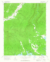
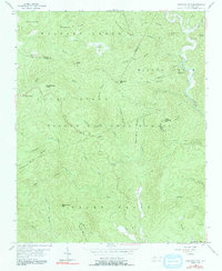
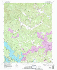
Historical Maps of Morganton Through Time
47 maps found
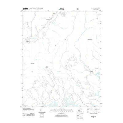
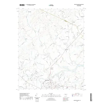
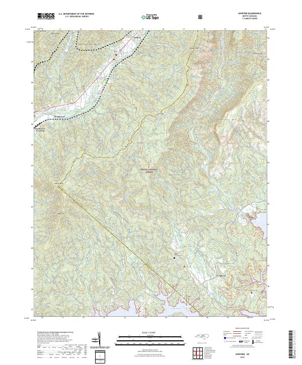
1956 Ashford
Burke County, NC
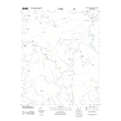
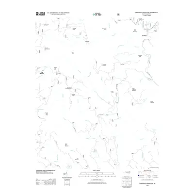
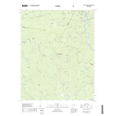
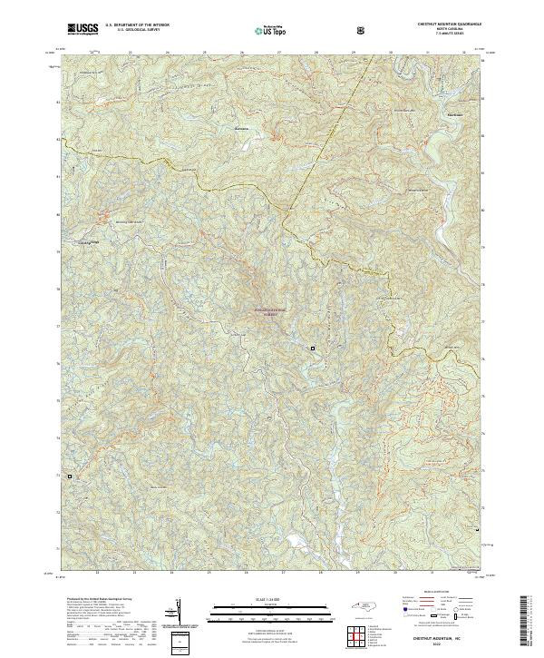
1956 Chestnut Mountain
Burke County, NC
1956 Linville Falls
Burke County, NC
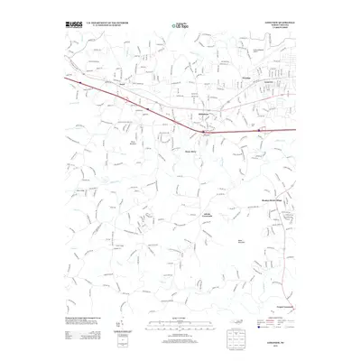
1956 Morganton North
Burke County, NC
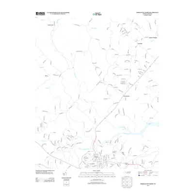
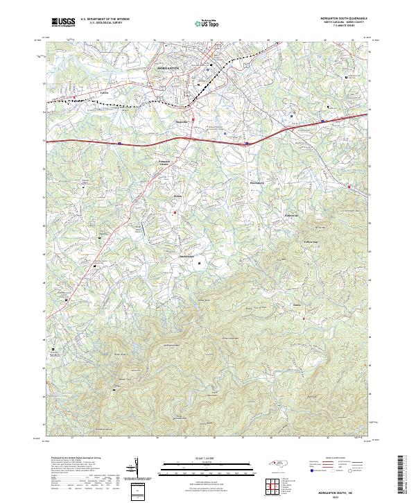
1956 Morganton South
Burke County, NC
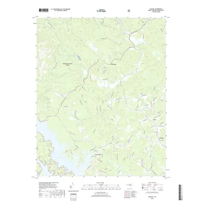
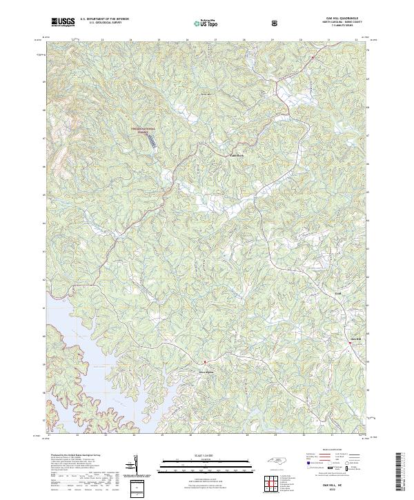
1956 Oak Hill
Burke County, NC
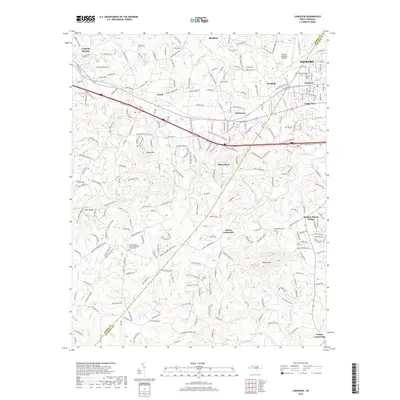
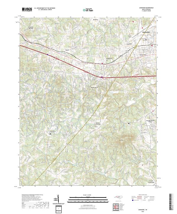
1970 Longview
Burke County, NC
1993 Ashford
Burke County, NC
1993 Chestnut Mountain
Burke County, NC
1993 Longview
Burke County, NC
1993 Morganton North
Burke County, NC
1993 Morganton South
Burke County, NC
1993 Oak Hill
Burke County, NC
1994 Ashford
Burke County, NC
1994 Chestnut Mountain
Burke County, NC
1994 Oak Hill
Burke County, NC
2002 Morganton North
Burke County, NC
2010 Longview
Burke County, NC
2010 Morganton North
Burke County, NC
2010 Morganton South
Burke County, NC
2011 Ashford
Burke County, NC
2011 Chestnut Mountain
Burke County, NC
2011 Oak Hill
Burke County, NC
2013 Ashford
Burke County, NC
2013 Chestnut Mountain
Burke County, NC
2013 Longview
Burke County, NC
2013 Morganton North
Burke County, NC
2013 Morganton South
Burke County, NC
2013 Oak Hill
Burke County, NC
2016 Ashford
Burke County, NC
2016 Chestnut Mountain
Burke County, NC
2016 Longview
Burke County, NC
2016 Morganton North
Burke County, NC
2016 Morganton South
Burke County, NC
2016 Oak Hill
Burke County, NC
2019 Ashford
Burke County, NC
2019 Chestnut Mountain
Burke County, NC
2019 Longview
Burke County, NC
2019 Morganton North
Burke County, NC
2019 Morganton South
Burke County, NC
2019 Oak Hill
Burke County, NC
2022 Ashford
Burke County, NC
2022 Chestnut Mountain
Burke County, NC
2022 Longview
Burke County, NC
2022 Morganton North
Burke County, NC
2022 Morganton South
Burke County, NC
2022 Oak Hill
Burke County, NC