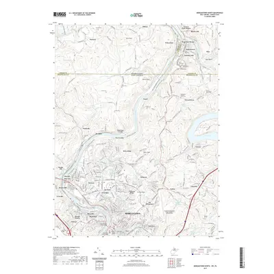
2019 Map of Morgantown North
USGS Topo · Published 2019About this map
Morgantown serves as the focal point of this survey, where the Monongahela River flows north across the Pennsylvania West Virginia state line. The landscape is marked by the transition of heavy industry and transit, with the Mon River N Rail-Trail and Deckers Creek Rail-Trail following the paths of former rail corridors through neighborhoods like Suncrest, Evansdale, and Sabraton. The northern reaches of the quadrangle include the confluence of the Cheat River and the Monongahela near Point Marion, a key navigation point since the early frontier era.
Find a feature on this map
101 named features on this map. Tap any name to fly to it.
Don’t see what you’re looking for? This feature index may not catch every label — zoom into the map to look around manually.
Map Details
Editions of this 2019 Morgantown North Map
This is the sole edition of this map. No revisions or reprints were ever made.
Other maps of this area

1900 · Masontown
USGS Topo · 1:62,500

1901 · Waynesburg
USGS Topo · 1:62,500

1902 · Morgantown
USGS Topo · 1:62,500

1903 · Masontown
USGS Topo · 1:62,500

1904 · Blacksville
USGS Topo · 1:62,500

1904 · Waynesburg
USGS Topo · 1:62,500

1923 · Blacksville
USGS Topo · 1:62,500

1925 · Blacksville
USGS Topo · 1:62,500

1925 · Morgantown
USGS Topo · 1:62,500

1931 · Masontown
USGS Topo · 1:62,500