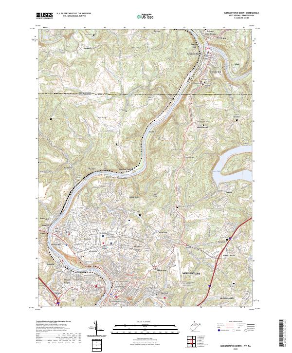
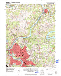
2023 Map of Morgantown North
USGS Topo · Published 2023About this map
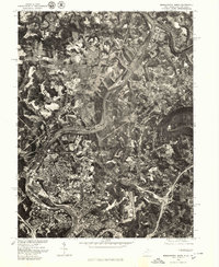
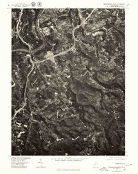
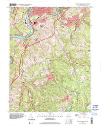
The Monongahela River serves as the central artery of this region, winding past the urban expansion of Morgantown and the educational hub of West Virginia University. The map documents the northern growth of the city through neighborhoods like Suncrest, The Flatts, and Evansdale, while the Morgantown Municipal Airport anchors the eastern heights. Further north, the landscape transitions into the hills of Baker Ridge and Chestnut Ridge, where smaller settlements like Van Voorhis and Hoard line the riverbanks. Near the Pennsylvania border, the confluence of the Cheat River and the Monongahela marks the site of Point Marion, a historic river town surrounded by numerous family and community burial grounds, including Forks of Cheat Baptist Church Cem and Point Marion Cem. The conversion of old industrial infrastructure is evident in the Mon River North Rail-Trl, which now follows the river's path through former coal and rail territory.
Find a feature on this map
202 named features on this map. Tap any name to fly to it.
Don’t see what you’re looking for? This feature index may not catch every label — zoom into the map to look around manually.
Map Details
Editions of this 2023 Morgantown North Map
This is the sole edition of this map. No revisions or reprints were ever made.
Historical Maps of Maidsville Through Time
10 maps found
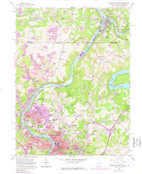
1957 Morgantown North
Monongalia County, WV
1957 Morgantown South
Monongalia County, WV
1958 Wadestown
Monongalia County, WV
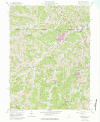
1976 Morgantown North
Monongalia County, WV
1976 Morgantown South
Monongalia County, WV
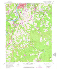
1994 Morgantown North
Monongalia County, WV
1997 Morgantown South
Monongalia County, WV
2023 Morgantown North
Monongalia County, WV
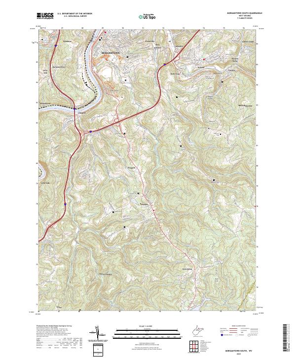
2023 Morgantown South
Monongalia County, WV
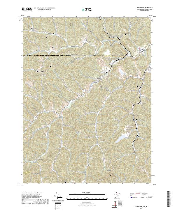
2023 Wadestown
Monongalia County, WV