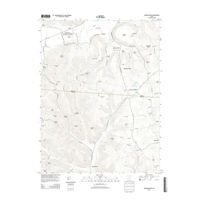
2013 Map of Morgantown
USGS Topo · Published 2013About this map
Hopewell Culture National Historical Park anchors the northern reaches of this Pike and Ross County borderland, preserving the ancient Seip Mound near the banks of Paint Creek. The landscape is defined by a dense network of ridges and hollows, where family-named landmarks like Eggleson Ridge, McMechen Hill, and Alexander Hollow illustrate the rugged geography of the region. This 2013 survey provides a detailed view of small rural communities and crossroad settlements such as Morgantown, Spargursville, and Nipgen, many of which grew around early transportation routes and water sources like Sulphur Lick and Morgans Fork Rd.
Find a feature on this map
101 named features on this map. Tap any name to fly to it.
Don’t see what you’re looking for? This feature index may not catch every label — zoom into the map to look around manually.
Map Details
Editions of this 2013 Morgantown Map
This is the sole edition of this map. No revisions or reprints were ever made.
Other maps of this area

1912 · Roxabell
USGS Topo · 1:62,500

1914 · Roxabell
USGS Topo · 1:62,500

1915 · Bainbridge
USGS Topo · 1:48,000

1915 · Piketon
USGS Topo · 1:62,500

1917 · Bainbridge
USGS Topo · 1:62,500

1917 · Piketon
USGS Topo · 1:62,500

1917 · Greenfield
USGS Topo · 1:62,500

1944 · Piketon
USGS Topo · 1:62,500

1944 · Greenfield
USGS Topo · 1:62,500

1944 · Roxabell
USGS Topo · 1:62,500