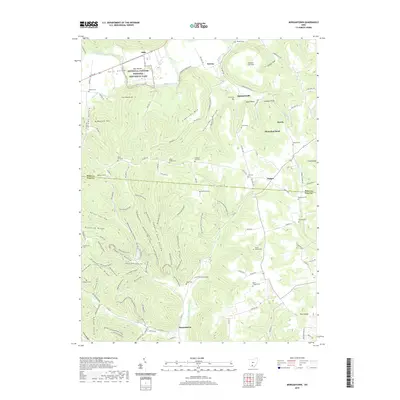
2019 Map of Morgantown
USGS Topo · Published 2019About this map
Seip Mound Hopewell Culture National Historical Park anchors the northern reaches of this landscape along Paint Creek, preserving significant earthworks in the Paint Valley. The terrain to the south is defined by a dense network of ridges and hollows, including Copperas Mountain and Greenbrier Ridge, which are carved by tributaries like the Right Fork Morgan Fork. Small communities and family-named landmarks are scattered throughout these hills, connected by local routes such as Copperas Mountain Rd and Harris Station Rd.
Find a feature on this map
105 named features on this map. Tap any name to fly to it.
Don’t see what you’re looking for? This feature index may not catch every label — zoom into the map to look around manually.
Map Details
Editions of this 2019 Morgantown Map
This is the sole edition of this map. No revisions or reprints were ever made.
Other maps of this area

1912 · Roxabell
USGS Topo · 1:62,500

1914 · Roxabell
USGS Topo · 1:62,500

1915 · Bainbridge
USGS Topo · 1:48,000

1915 · Piketon
USGS Topo · 1:62,500

1917 · Bainbridge
USGS Topo · 1:62,500

1917 · Piketon
USGS Topo · 1:62,500

1917 · Greenfield
USGS Topo · 1:62,500

1944 · Piketon
USGS Topo · 1:62,500

1944 · Greenfield
USGS Topo · 1:62,500

1944 · Roxabell
USGS Topo · 1:62,500