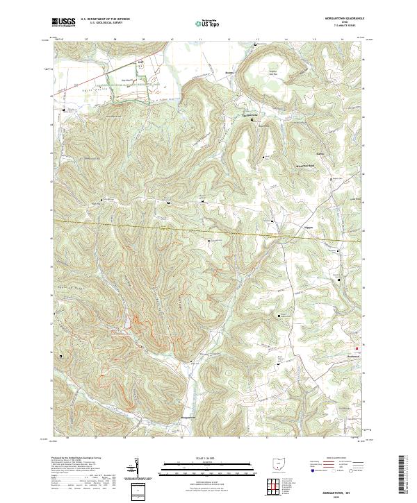
2023 Map of Morgantown
USGS Topo · Published 2023About this map
Seip Mound stands as a prominent archaeological landmark in the north, preserved within the Hopewell Culture National Historical Park. This landscape along the Paint Creek valley transitions from the broad alluvial floor of Paint Valley into the dissected uplands of Copperas Mountain and McMehen Hill. The region is defined by its numerous small burial grounds and rural churches, including Bond Chapel Cem and Mount Carmel Cem, which serve as critical nodes for genealogical research in this part of southern Ohio.
Find a feature on this map
115 named features on this map. Tap any name to fly to it.
Don’t see what you’re looking for? This feature index may not catch every label — zoom into the map to look around manually.
Map Details
Editions of this 2023 Morgantown Map
This is the sole edition of this map. No revisions or reprints were ever made.
Other maps of this area

1912 · Roxabell
USGS Topo · 1:62,500

1914 · Roxabell
USGS Topo · 1:62,500

1915 · Bainbridge
USGS Topo · 1:48,000

1915 · Piketon
USGS Topo · 1:62,500

1917 · Bainbridge
USGS Topo · 1:62,500

1917 · Piketon
USGS Topo · 1:62,500

1917 · Greenfield
USGS Topo · 1:62,500

1944 · Piketon
USGS Topo · 1:62,500

1944 · Greenfield
USGS Topo · 1:62,500

1944 · Roxabell
USGS Topo · 1:62,500