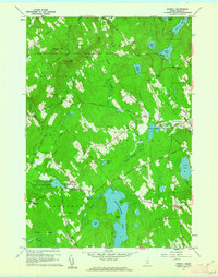
1960 Map of Morrill
USGS Topo · Published 1962About this map
Quantabacook Lake anchors the southern landscape of this Waldo County survey, a prominent water body dotted with Sheep Island and Wood Island. The rural economy of the early 1960s is visible in the network of ridge-top roads and scattered gravel operations, such as the Sand and Gravel Pits near North Searsmont. Evidence of the region’s earlier industrial and social roots remains through landmarks like Smiths Millpond and the East Knox School. Large tracts of land are dedicated to conservation, including the Frye Mountain State Game Management Area, which features a Lookout Tower atop Frye Mountain. Genealogists will find numerous family-named locations such as Pauls Corner, Levetts Corner, and Philbricks Corner, alongside quiet burial grounds like Hillcrest Cemetery and Green Wood Cemetery.
Find a feature on this map
71 named features on this map. Tap any name to fly to it.
Don’t see what you’re looking for? This feature index may not catch every label — zoom into the map to look around manually.
Map Details
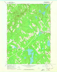
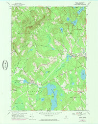
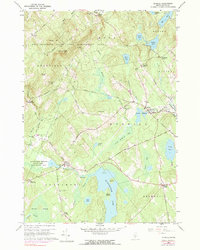
Editions of this 1960 Morrill Map
4 editions found
Other maps of this area

1915 · Belfast
USGS Topo · 1:62,500

1916 · Liberty
USGS Topo · 1:62,500

1917 · Belfast
USGS Topo · 1:62,500

1926 · Burnham
USGS Topo · 1:62,500

1932 · Brooks
USGS Topo · 1:62,500

1941 · Belfast
USGS Topo · 1:62,500

1942 · Liberty
USGS Topo · 1:62,500

1948 · Bangor
USGS Topo · 1:250,000

1950 · Belfast
USGS Topo · 1:50,000

1950 · Liberty
USGS Topo · 1:50,000