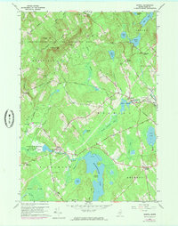
1960 Map of Morrill
USGS Topo · Published 1985About this map
Quantabacook Lake and the winding course of Marsh Stream anchor this mid-century view of the Waldo County interior. The map illustrates a landscape of small rural settlements defined by family-named crossroads like Fosters Corner, Philbricks Corner, and Pauls Corner. The transition from active farming to managed forest is evident in the sprawling Frye Mountain State Game Management Area, where a Lookout Tower stands atop Frye Mtn. Local genealogy is well-documented through numerous small burial grounds, including Sunny Side Cem and Pierce Hill Cem, alongside public landmarks like the East Knox Sch. Industrial activity is represented by several Sand and Gravel Pits concentrated near Morrill, while the southern reaches are dominated by the wetlands of Witcher Swamp and Greers Bog.
Find a feature on this map
69 named features on this map. Tap any name to fly to it.
Don’t see what you’re looking for? This feature index may not catch every label — zoom into the map to look around manually.
Map Details
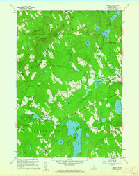
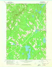
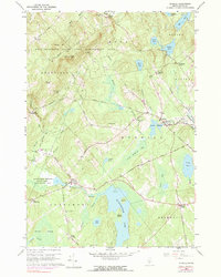
Editions of this 1960 Morrill Map
4 editions found
Other maps of this area

1915 · Belfast
USGS Topo · 1:62,500

1916 · Liberty
USGS Topo · 1:62,500

1917 · Belfast
USGS Topo · 1:62,500

1926 · Burnham
USGS Topo · 1:62,500

1932 · Brooks
USGS Topo · 1:62,500

1941 · Belfast
USGS Topo · 1:62,500

1942 · Liberty
USGS Topo · 1:62,500

1948 · Bangor
USGS Topo · 1:250,000

1950 · Belfast
USGS Topo · 1:50,000

1950 · Liberty
USGS Topo · 1:50,000