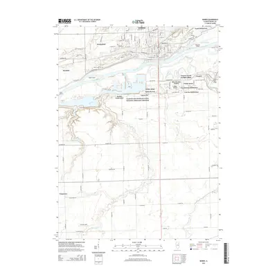
2015 Map of Morris
USGS Topo · Published 2015About this map
The Illinois River serves as the central artery of this landscape, flanked by the Illinois and Michigan Canal National Heritage Corridor which preserves the path of a historic transportation route. In the northern reaches, the city of Morris is characterized by a dense grid of streets like E Main St and Armstrong St, surrounded by emerging residential clusters such as Goode Subdivision and Heatherfield. The southern terrain is more defined by its hydrography, where the Waupecan Creek and Mazon River wind through the countryside toward the river valley. Local history and genealogy are anchored by established sites like Evergreen Cem and Mount Carmel Cem, while small settlements like Wauponsee and Paytonville mark the outskirts of the primary township. Farther south, the Curanda Airport stands as a modern landmark amidst the agricultural fields and drainage runs.
Find a feature on this map
80 named features on this map. Tap any name to fly to it.
Don’t see what you’re looking for? This feature index may not catch every label — zoom into the map to look around manually.
Map Details
Editions of this 2015 Morris Map
This is the sole edition of this map. No revisions or reprints were ever made.
Other maps of this area

1892 · Morris
USGS Topo · 1:62,500

1892 · Marseilles
USGS Topo · 1:62,500

1916 · Marseilles
USGS Topo · 1:62,500

1918 · Morris
USGS Topo · 1:62,500

1940 · Marseilles
USGS Topo · 1:62,500

1948 · Dwight
USGS Topo · 1:62,500

1950 · Dwight
USGS Topo · 1:62,500

1953 · Morris
USGS Topo · 1:24,000

1953 · Lisbon
USGS Topo · 1:24,000

1953 · Coal City
USGS Topo · 1:24,000