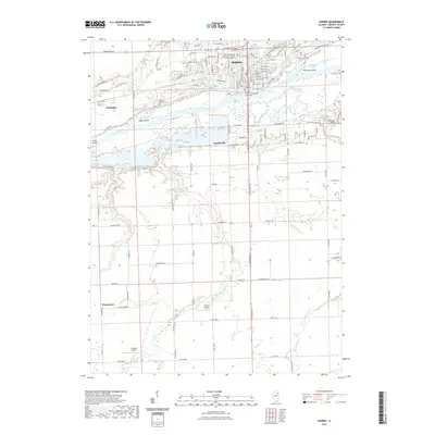
2021 Map of Morris
USGS Topo · Published 2021About this map
The Illinois River serves as the central artery for this region, bisecting the landscape as it passes the city of Morris. This 2021 study illustrates a complex riverine environment defined by islands like Sugar Island, Peacocks Island, and Grist Island, alongside a network of tributaries including the Mazon River and Waupecan Creek. The urban layout of Morris is anchored by the Grundy County Courthouse, while educational facilities such as the Morris Education Center of Joliet Junior College indicate contemporary development.
Find a feature on this map
77 named features on this map. Tap any name to fly to it.
Don’t see what you’re looking for? This feature index may not catch every label — zoom into the map to look around manually.
Map Details
Editions of this 2021 Morris Map
This is the sole edition of this map. No revisions or reprints were ever made.
Other maps of this area

1892 · Morris
USGS Topo · 1:62,500

1892 · Marseilles
USGS Topo · 1:62,500

1916 · Marseilles
USGS Topo · 1:62,500

1918 · Morris
USGS Topo · 1:62,500

1940 · Marseilles
USGS Topo · 1:62,500

1948 · Dwight
USGS Topo · 1:62,500

1950 · Dwight
USGS Topo · 1:62,500

1953 · Morris
USGS Topo · 1:24,000

1953 · Lisbon
USGS Topo · 1:24,000

1953 · Coal City
USGS Topo · 1:24,000