2024 Map of Morris
USGS Topo · Published 2024About this map
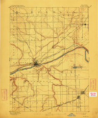
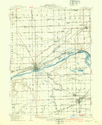
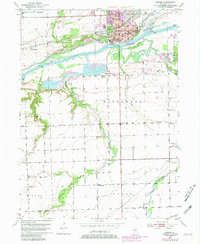
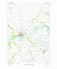
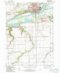
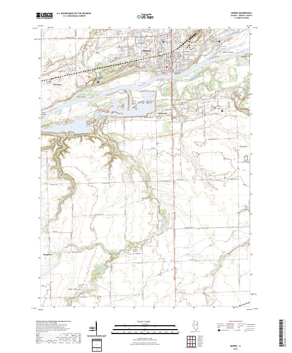
The Illinois River serves as the central artery for this portion of Grundy County, carving a wide path through a landscape dotted with river islands like Sugar Island and Peacocks Island. On its northern bank, the city of Morris stands as the primary hub, anchored by the Grundy County Courthouse and the Morris Education Center of Joliet Junior College. The surrounding terrain transitions from the concentrated grid of the city to smaller riverside communities such as Paytonville and Stockdale. This 2024 survey captures the persistence of the area's agricultural and logistical roots, evidenced by the presence of Harford Airport and Curanda Airport situated amidst the sprawling drainage networks of Waupecan Creek and Johnny Run. Genealogists will find interest in the documented locations of Evergreen Cem, Mount Carmel Cem, and Sample Cem, which provide historical context for the local families who settled along these fertile river plains.
Find a feature on this map
97 named features on this map. Tap any name to fly to it.
Don’t see what you’re looking for? This feature index may not catch every label — zoom into the map to look around manually.
Map Details
Editions of this 2024 Morris Map
This is the sole edition of this map. No revisions or reprints were ever made.
Historical Maps of Pine Meadow Estates Through Time
6 maps found