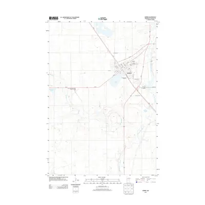
2013 Map of Morris
USGS Topo · Published 2013About this map
The town of Morris serves as a central hub for Stevens County, defined by its academic and agricultural heritage. This 2013 survey highlights the Univ of Minnesota-Morris campus on the northern edge of the city, adjacent to Summit Cem and Calvary Cem. The landscape is shaped by the glacial geography of western Minnesota, with the Pomme de Terre River winding along the eastern boundary, complemented by local water bodies like Crystal Lake and the marshy expanses of Spooner Slough and Coleman Slough.
Find a feature on this map
34 named features on this map. Tap any name to fly to it.
Don’t see what you’re looking for? This feature index may not catch every label — zoom into the map to look around manually.
Map Details
Editions of this 2013 Morris Map
This is the sole edition of this map. No revisions or reprints were ever made.
Other maps of this area

1910 · Chokio
USGS Topo · 1:62,500

1912 · Chokio
USGS Topo · 1:62,500

1912 · Morris
USGS Topo · 1:62,500

1953 · Milbank
USGS Topo · 1:250,000

1953 · Saint Cloud
USGS Topo · 1:250,000

1957 · Saint Cloud
USGS Topo · 1:250,000

1958 · Milbank
USGS Topo · 1:250,000

1958 · Saint Cloud
USGS Topo · 1:250,000

1968 · Dry Wood Lake
USGS Topo · 1:24,000

1968 · Hancock
USGS Topo · 1:24,000