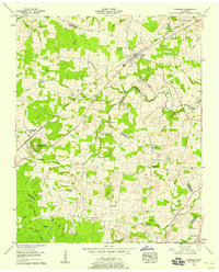
1956 Map of Morrison
USGS Topo · Published 1958About this map
Morrison serves as a primary hub along the Nashville Chattanooga and St Louis railway during the mid-1950s. The landscape is defined by the transition from the rolling terrain of The Barrens in the south toward the more complex drainage of Hickory Creek and its many tributaries. This area shows a high density of rural genealogy markers, with family-named cemeteries such as Stroud Cem, Bryan Cem, and Wooten Cem scattered throughout the rural landscape. Small community nodes are anchored by landmarks like Fountain Grove Ch and the industrial history represented by Bryan Mill. The survey also highlights the local significance of higher elevations, such as the lookout tower atop Summitville Mtn, which provides a vantage point over the intersection of Warren and Coffee counties.
Find a feature on this map
43 named features on this map. Tap any name to fly to it.
Don’t see what you’re looking for? This feature index may not catch every label — zoom into the map to look around manually.
Map Details
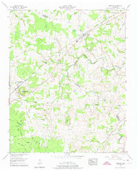
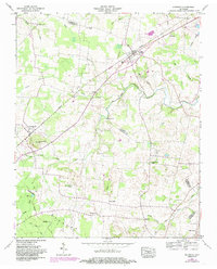
Editions of this 1956 Morrison Map
3 editions found
Other maps of this area

1893 · Mc Minnville
USGS Topo · 1:125,000

1895 · Mc Minnville
USGS Topo · 1:125,000

1895 · Sewanee
USGS Topo · 1:125,000

1913 · Hollow Springs
USGS Topo · 1:62,500

1936 · Fredonia
USGS Topo · 1:24,000

1936 · Manchester
USGS Topo · 1:24,000

1936 · Petty Gap
USGS Topo · 1:24,000

1936 · Morrison
USGS Topo · 1:24,000

1936 · Hillsboro
USGS Topo · 1:24,000

1936 · Cane Hollow
USGS Topo · 1:24,000