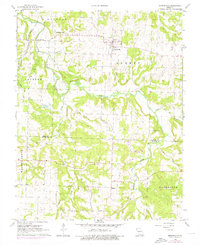
1961 Map of Morrisville
USGS Topo · Published 1976About this map
Morrisville and the surrounding borderlands of Polk and Greene Counties are defined by the winding course of the Little Sac River and its numerous tributaries. In the early 1960s, the landscape was a rural network of small community centers and family-named landmarks like Grisham Knob. The settlement pattern is anchored by local congregations, including Oakville Ch and Gays Chapel, which suggest a stable, farm-based social structure at the time.
Find a feature on this map
27 named features on this map. Tap any name to fly to it.
Don’t see what you’re looking for? This feature index may not catch every label — zoom into the map to look around manually.
Map Details
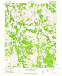
Editions of this 1961 Morrisville Map
2 editions found
Other maps of this area

1884 · Springfield
USGS Topo · 1:125,000

1884 · Bolivar
USGS Topo · 1:125,000

1886 · Stockton
USGS Topo · 1:125,000

1886 · Greenfield
USGS Topo · 1:125,000

1886 · Springfield
USGS Topo · 1:125,000

1888 · Greenfield
USGS Topo · 1:125,000

1892 · Bolivar
USGS Topo · 1:125,000

1948 · Willard
USGS Topo · 1:24,000

1948 · Ebenezer
USGS Topo · 1:24,000

1954 · Springfield
USGS Topo · 1:250,000