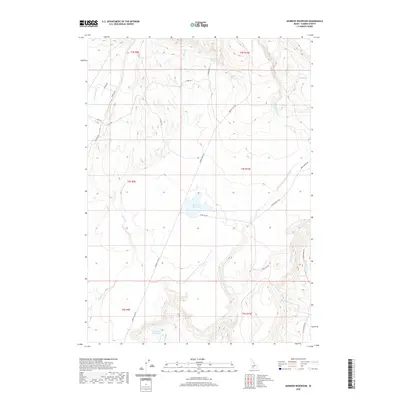
2020 Map of Morrow Reservoir
USGS Topo · Published 2020About this map
Morrow Reservoir and Blair Trail Reservoir anchor this section of Elmore County, where a network of seasonal creeks and named springs defines the high desert drainage. The landscape is marked by natural water sources like Dotty Hot Spring, Rustican Spring, and Cedar Spring, which likely served as critical landmarks for early travelers and ranchers. A sophisticated grid of ranching roads, including Bennett Mtn Rd, King Hill Rd, and Berry Ranch Rd, weaves through the terrain, connecting the high plateaus with the lower drainages of Little Canyon Cr and King Hill Cr. The distribution of these roads and water features reflects a modern ranching economy that remains closely tied to the region's complex topography and limited water resources.
Find a feature on this map
30 named features on this map. Tap any name to fly to it.
Don’t see what you’re looking for? This feature index may not catch every label — zoom into the map to look around manually.
Map Details
Editions of this 2020 Morrow Reservoir Map
This is the sole edition of this map. No revisions or reprints were ever made.
Other maps of this area

1892 · Camas Prairie
USGS Topo · 1:125,000

1893 · Camas Prairie
USGS Topo · 1:125,000

1947 · Hammett
USGS Topo · 1:24,000

1947 · Glenns Ferry
USGS Topo · 1:24,000

1947 · Pasadena Valley
USGS Topo · 1:24,000

1948 · Pasadena Valley
USGS Topo · 1:24,000

1948 · Hammett
USGS Topo · 1:24,000

1948 · Glenns Ferry
USGS Topo · 1:24,000

1948 · Glenns Ferry
USGS Topo · 1:62,500

1949 · Pasadena Valley
USGS Topo · 1:62,500