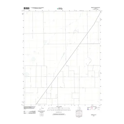
2010 Map of Morse SE
USGS Topo · Published 2010About this map
Horse Creek winds through the expansive High Plains of the Texas Panhandle in this portion of Hutchinson County. This landscape is defined by the rigid geometry of the section-line road system, including thoroughfares such as Co Rd CC and Co Rd DD, which facilitate movement between rural homesteads and agricultural operations. The area is intersected by Fm 281, a vital connector for local commerce and ranching access. Scattered depressions across the terrain suggest the presence of ephemeral playa lakes, which are characteristic of this region and critical to its ecology. The map reveals the infrastructure of a working landscape at the start of the twenty-first century, where local routes like Co Rd 15 and Co Rd 18 provide the framework for the local economy.
Find a feature on this map
14 named features on this map. Tap any name to fly to it.
Don’t see what you’re looking for? This feature index may not catch every label — zoom into the map to look around manually.
Map Details
Editions of this 2010 Morse SE Map
This is the sole edition of this map. No revisions or reprints were ever made.
Other maps of this area

1953 · Stinnett Station
USGS Topo · 1:24,000

1953 · Pringle
USGS Topo · 1:24,000

1954 · Perryton
USGS Topo · 1:250,000

1954 · Amarillo
USGS Topo · 1:250,000

1958 · Perryton
USGS Topo · 1:250,000

1958 · Amarillo
USGS Topo · 1:250,000

1962 · Hansford
USGS Topo · 1:24,000

1962 · Spearman
USGS Topo · 1:24,000

1974 · Morse
USGS Topo · 1:24,000

1974 · Hannas Draw East
USGS Topo · 1:24,000