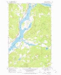
1968 Map of Morton
USGS Topo · Published 1978About this map
The Pend Oreille River dominates this portion of Bonner County, serving as a corridor for both timber and transit. In the late 1960s, the settlements of Wrencoe and Morton mark the riverbanks, supported by the dual rail lines of the Great Northern and the Spokane International railroads. Much of the surrounding landscape is defined by the Kaniksu National Forest, where steep terrain like Black Pine Mtn and the depression of Otts Basin shape the drainage patterns. Toward the southeast, the landscape transitions into a cluster of water bodies including Round Lake, which is preserved within Round Lake State Park, and the northern tip of Cocolalla Lake. This survey illustrates the era's balance between industrial rail infrastructure and the developing recreational use of the Idaho panhandle's lakes and sloughs.
Find a feature on this map
24 named features on this map. Tap any name to fly to it.
Don’t see what you’re looking for? This feature index may not catch every label — zoom into the map to look around manually.
Map Details
Editions of this 1968 Morton Map
2 editions found
Other maps of this area

1901 · Sandpoint
USGS Topo · 1:125,000

1911 · Priest Lake
USGS Topo · 1:250,000

1911 · Sandpoint
USGS Topo · 1:125,000

1913 · Priest Lake
USGS Topo · 1:250,000

1958 · Sandpoint
USGS Topo · 1:250,000

1963 · Sandpoint
USGS Topo · 1:250,000

1967 · Prater Mtn
USGS Topo · 1:24,000
1968 · Cocolalla
USGS Topo · 1:24,000
1968 · Happy Fork Gap
USGS Topo · 1:24,000
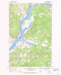
1968 · Morton
USGS Topo · 1:24,000