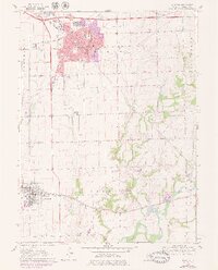
1970 Map of Morton
USGS Topo · Published 1979About this map
The Morton landscape in the late 1960s and early 1970s is defined by a dense intersection of major rail lines and emerging suburban growth. The Illinois Terminal, Penn Central, and Atchison Topeka and Santa Fe railroads converge near the town center, illustrating the area's importance as a central Illinois transportation hub. Residential expansion is evident around landmarks like Ward Grundy Sch and the Blessed Sacrament Sch, while the outlying areas maintain their rural character through numerous family-named burial grounds including Winzeler Cem and Vaughter Cem.
Find a feature on this map
35 named features on this map. Tap any name to fly to it.
Don’t see what you’re looking for? This feature index may not catch every label — zoom into the map to look around manually.
Map Details
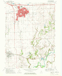
Editions of this 1970 Morton Map
2 editions found
Other maps of this area

1905 · Peoria
USGS Topo · 1:62,500

1927 · Peoria
USGS Topo · 1:62,500

1928 · Mackinaw
USGS Topo · 1:62,500

1932 · Mackinaw
USGS Topo · 1:62,500

1942 · Delavan
USGS Topo · 1:62,500

1949 · Peoria East
USGS Topo · 1:24,000
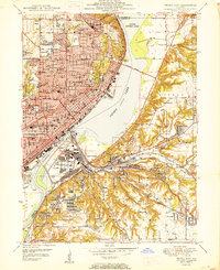
1950 · Peoria East
USGS Topo · 1:24,000

1951 · Minier
USGS Topo · 1:62,500

1958 · Peoria
USGS Topo · 1:250,000

1960 · Marquette Heights
USGS Topo · 1:24,000