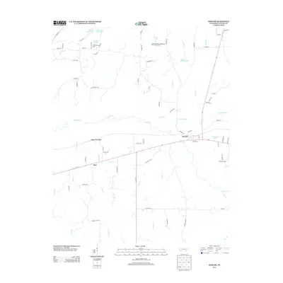
2013 Map of Moscow
USGS Topo · Published 2013About this map
Moscow serves as the primary hub on this Fayette County sheet, situated where the Wolf River meets the N Fork Wolf River. The landscape is defined by its complex drainage network, including the meandering Stafford Cr, Sandy Cr, and the Teague Br which flows northward toward the main river channel. These waterways are punctuated by numerous private impoundments and water management structures, such as the Mitchell Lake Dam and the Sand Creek Pilot Watershed Dam Number One, reflecting the agricultural engineering of the region.
Find a feature on this map
72 named features on this map. Tap any name to fly to it.
Don’t see what you’re looking for? This feature index may not catch every label — zoom into the map to look around manually.
Map Details
Editions of this 2013 Moscow Map
This is the sole edition of this map. No revisions or reprints were ever made.
Other maps of this area

1943 · Collierville
USGS Topo · 1:62,500

1948 · Byhalia
USGS Topo · 1:62,500

1949 · Moscow
USGS Topo · 1:62,500

1953 · Holly Springs
USGS Topo · 1:62,500

1953 · Collierville
USGS Topo · 1:50,000

1956 · Blytheville
USGS Topo · 1:250,000

1956 · Tupelo
USGS Topo · 1:250,000

1958 · Tupelo
USGS Topo · 1:250,000

1959 · Blytheville
USGS Topo · 1:250,000

1965 · Rossville
USGS Topo · 1:24,000