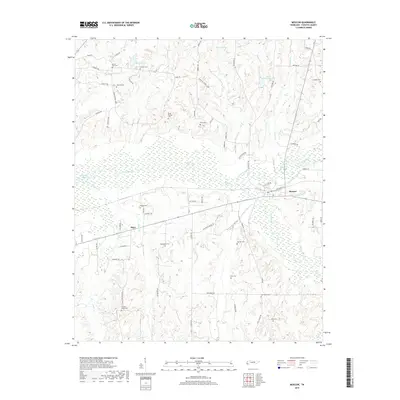
2019 Map of Moscow
USGS Topo · Published 2019About this map
Moscow sits near the confluence of the Wolf River and the North Fork Wolf River, serving as a central point in this part of Fayette County. The landscape is defined by the broad, marshy bottoms of the river systems, where features like Running Slough and River Branches break through the terrain. To the west, the smaller settlements of Hays and Blackwell are linked by local routes, surrounded by a network of family and community burial grounds that speak to the area's deep-rooted rural history. Numerous cemeteries, including Mount Zion Cem, Bethlehem Cem, and Heaslet Cem, are scattered across the higher ground away from the river's floodplain. The presence of private water bodies such as Butch McNabb Lake and R L Lewis Lake suggests a mix of agricultural land and managed local recreation at the time of this 2019 data.
Find a feature on this map
72 named features on this map. Tap any name to fly to it.
Don’t see what you’re looking for? This feature index may not catch every label — zoom into the map to look around manually.
Map Details
Editions of this 2019 Moscow Map
This is the sole edition of this map. No revisions or reprints were ever made.
Other maps of this area

1943 · Collierville
USGS Topo · 1:62,500

1948 · Byhalia
USGS Topo · 1:62,500

1949 · Moscow
USGS Topo · 1:62,500

1953 · Holly Springs
USGS Topo · 1:62,500

1953 · Collierville
USGS Topo · 1:50,000

1956 · Blytheville
USGS Topo · 1:250,000

1956 · Tupelo
USGS Topo · 1:250,000

1958 · Tupelo
USGS Topo · 1:250,000

1959 · Blytheville
USGS Topo · 1:250,000

1965 · Rossville
USGS Topo · 1:24,000