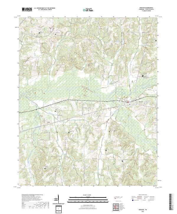
2022 Map of Moscow
USGS Topo · Published 2022About this map
The Wolf River corridor dominates the landscape of southern Fayette County, flanked by a network of creeks including Hurricane Creek and Grissum Creek. This modern survey reveals a countryside characterized by small water bodies like Mitchell Lake and Kimery Lake, alongside numerous historic burial grounds that speak to the area's ancestral roots. Near the settlement of Moscow, the North Fork Wolf River joins the main channel, surrounded by low-lying wetlands and sloughs. Genealogists will find a wealth of specific data points, from the Gwyn Family Graveyard and Springhill Missionary Baptist Church Cemetery in the east to the Mount Zion Cemetery and Heaslet Cemetery in the north. The rural character is preserved through a web of local roads such as Old State Line Drive and Good Springs Loop, connecting the community of Hays to the surrounding agricultural and timber lands.
Find a feature on this map
76 named features on this map. Tap any name to fly to it.
Don’t see what you’re looking for? This feature index may not catch every label — zoom into the map to look around manually.
Map Details
Editions of this 2022 Moscow Map
This is the sole edition of this map. No revisions or reprints were ever made.
Other maps of this area

1943 · Collierville
USGS Topo · 1:62,500

1948 · Byhalia
USGS Topo · 1:62,500

1949 · Moscow
USGS Topo · 1:62,500

1953 · Holly Springs
USGS Topo · 1:62,500

1953 · Collierville
USGS Topo · 1:50,000

1956 · Blytheville
USGS Topo · 1:250,000

1956 · Tupelo
USGS Topo · 1:250,000

1958 · Tupelo
USGS Topo · 1:250,000

1959 · Blytheville
USGS Topo · 1:250,000

1965 · Rossville
USGS Topo · 1:24,000