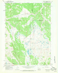
1967 Map of Mosquito Lake
USGS Topo · Published 1971About this map
Bacon Ridge and Buffalo Ridge dominate this high-altitude landscape along the boundaries of the Teton National Forest and Bridger National Forest. The 1960s survey captures a transition point in the wilderness, where traditional access via a Pack Trail or the Bacon Trail was being supplemented by a Trunk Jeep Trail and the remote Kinky Creek Divide Airstrip. The central wetland complex surrounding Mosquito Lake and Meadow Creek Park drains into a network of seasonal streams including Wagon Creek and Raspberry Creek. Several exploratory Drill Holes are noted across the basin, suggesting a period of resource assessment in this remote region of Teton and Sublette counties. The presence of fine red dashed lines indicates selected fence lines, marking early land management and grazing boundaries in these high meadows.
Find a feature on this map
33 named features on this map. Tap any name to fly to it.
Don’t see what you’re looking for? This feature index may not catch every label — zoom into the map to look around manually.
Map Details
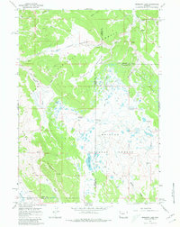
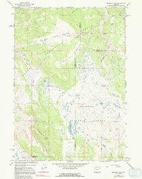
Editions of this 1967 Mosquito Lake Map
3 editions found
Other maps of this area

1902 · Mt Leidy
USGS Topo · 1:125,000

1905 · Younts Peak
USGS Topo · 1:125,000

1907 · Younts Peak
USGS Topo · 1:125,000

1907 · Gros Ventre
USGS Topo · 1:125,000

1909 · Fremont Peak
USGS Topo · 1:125,000

1910 · Gros Ventre
USGS Topo · 1:125,000

1955 · Driggs
USGS Topo · 1:250,000

1955 · Thermopolis
USGS Topo · 1:250,000

1956 · Fish Lake
USGS Topo · 1:24,000

1958 · Driggs
USGS Topo · 1:250,000