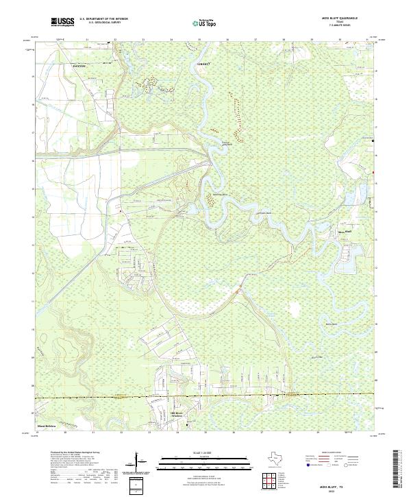
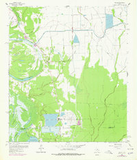
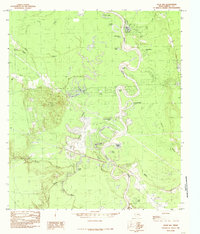
2022 Map of Moss Bluff
USGS Topo · Published 2022This historical map portrays the area of Moss Bluff in 2022, primarily covering Liberty as well as portions of Chambers County. Featuring a scale of 1:24000, this map provides a highly detailed snapshot of the terrain, roads, buildings, counties, and historical landmarks in the Moss Bluff region at the time. Published in 2022, it is the sole known edition of this map.
Map Details
Editions of this 2022 Moss Bluff Map
This is the sole edition of this map. No revisions or reprints were ever made.
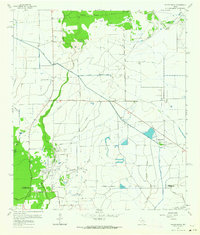
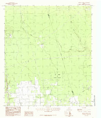
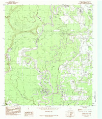
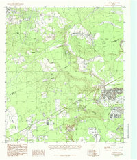
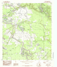
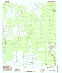
Historical Maps of Chambers County Through Time
30 maps found
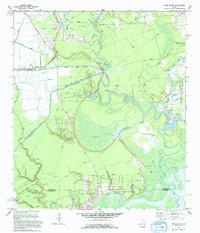
1943 Whites Bayou
Liberty County, TX
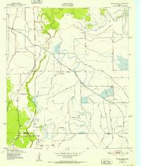
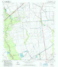
1955 Rayburn
Liberty County, TX
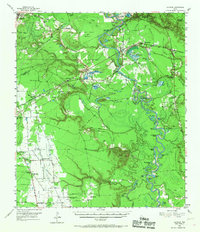
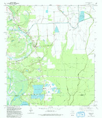
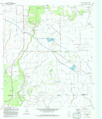
1961 Moss Bluff
Liberty County, TX

1961 Sheeks
Liberty County, TX
1961 Shiloh
Liberty County, TX
1961 Whites Bayou
Liberty County, TX

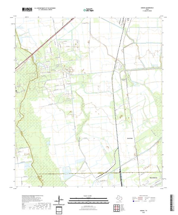
1982 Sheeks
Liberty County, TX
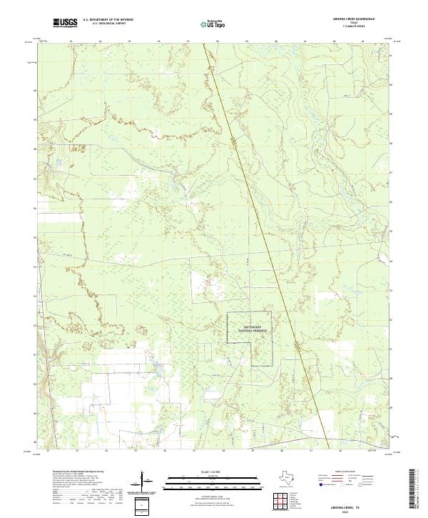
1984 Arizona Creek
Liberty County, TX
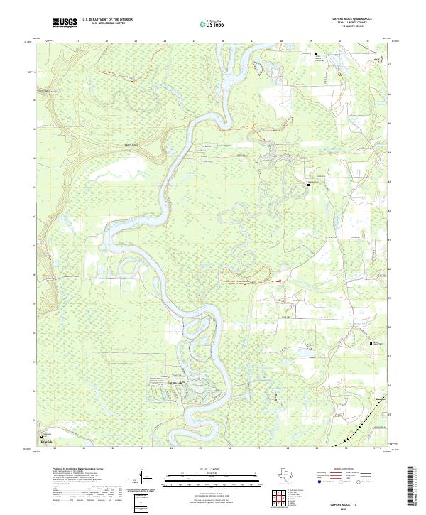
1984 Capers Ridge
Liberty County, TX
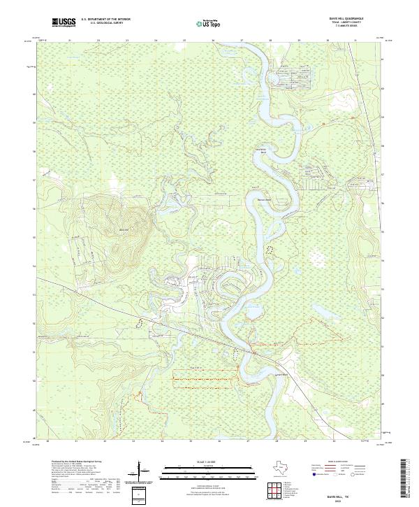
1984 Davis Hill
Liberty County, TX
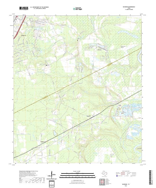
1984 Rayburn
Liberty County, TX
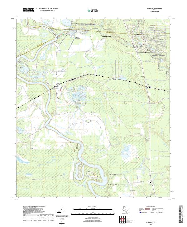
1984 Romayor
Liberty County, TX
1984 Simmons Bottom
Liberty County, TX
1984 Tarkington Prairie
Liberty County, TX
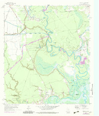
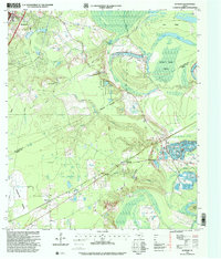
1993 Moss Bluff
Liberty County, TX
1993 Sheeks
Liberty County, TX
1993 Shiloh
Liberty County, TX
1994 Whites Bayou
Liberty County, TX
1997 Rayburn
Liberty County, TX
2022 Arizona Creek
Liberty County, TX
2022 Capers Ridge
Liberty County, TX
2022 Davis Hill
Liberty County, TX
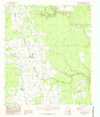
2022 Moss Bluff
Liberty County, TX
2022 Rayburn
Liberty County, TX
2022 Romayor
Liberty County, TX
2022 Sheeks
Liberty County, TX
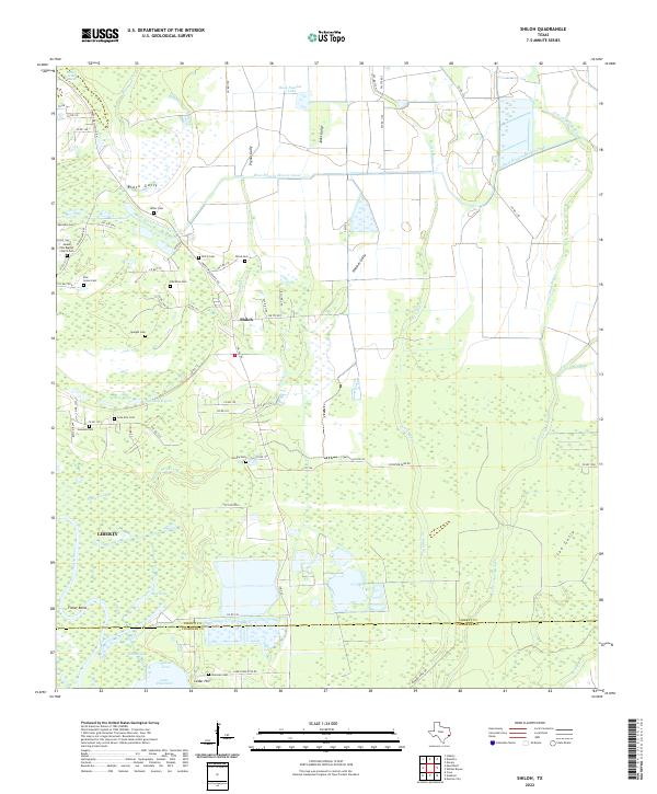
2022 Shiloh
Liberty County, TX
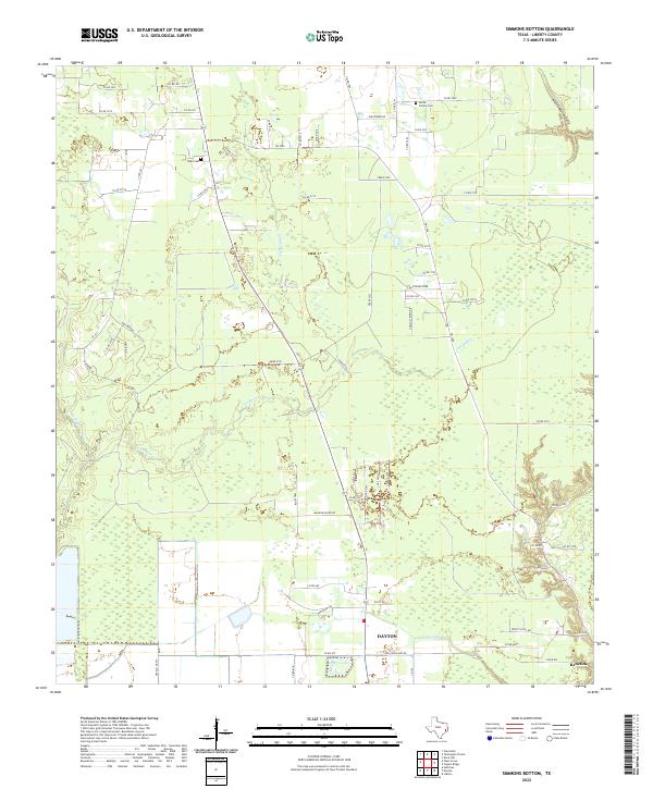
2022 Simmons Bottom
Liberty County, TX
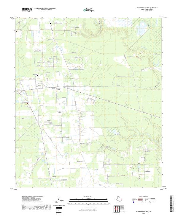
2022 Tarkington Prairie
Liberty County, TX
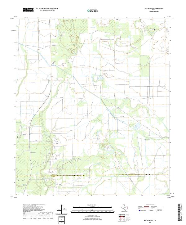
2022 Whites Bayou
Liberty County, TX