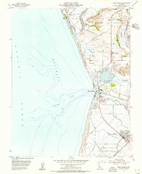
1954 Map of Moss Landing
USGS Topo · Published 1955About this map
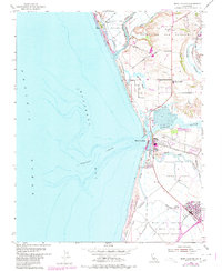
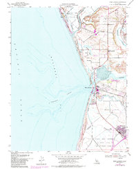
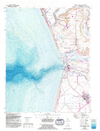
Monterey Canyon carves a deep submarine presence just offshore from where the Pajaro River and Old Salinas River meet the Pacific Ocean. This coastal landscape is defined by its extensive wetlands and historical land grants, including Bolsa De San Cayetano and Bolsa Nueva Y Moro Cojo. The industrial and maritime hub at Moss Landing is anchored by a massive Power Plant and nearby Tailings Pond, serving as a focal point for the region's mid-century infrastructure. Inland, the town of Castroville marks the southeastern reach of the map, situated near the Tembladero Slough and the Southern Pacific railroad line. The map captures a complex drainage system of sloughs, such as Elkhorn Slough and Moro Cojo Slough, which weave through the lowlands between protected areas like Zmudowski Beach State Park.
Find a feature on this map
36 named features on this map. Tap any name to fly to it.
Don’t see what you’re looking for? This feature index may not catch every label — zoom into the map to look around manually.
Map Details
Editions of this 1954 Moss Landing Map
7 editions found
Other maps of this area

1910 · Salinas
USGS Topo · 1:31,680

1912 · Salinas
USGS Topo · 1:62,500

1912 · Capitola
USGS Topo · 1:62,500

1913 · Monterey
USGS Topo · 1:62,500

1914 · Capitola
USGS Topo · 1:62,500

1915 · San Juan Bautista
USGS Topo · 1:48,000

1917 · San Juan Bautista
USGS Topo · 1:62,500

1939 · San Juan Bautista
USGS Topo · 1:62,500

1940 · San Juan Bautista
USGS Topo · 1:62,500

1940 · Salinas
USGS Topo · 1:62,500