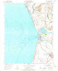
1954 Map of Moss Landing
USGS Topo · Published 1965About this map
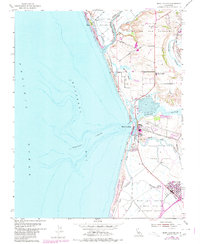
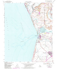
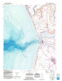
Moss Landing serves as a critical junction where the freshwater drainages of the Central Valley meet the deep waters of Monterey Bay. In this mid-century survey, the industrial footprint of the Power Plant stands in stark contrast to the surrounding salt marshes and sloughs. The landscape is dominated by the intricate hydrology of Elkhorn Slough and Moro Cojo Slough, which weave through historic land grants like Bolsa Nueva y Moro Cojo.
Find a feature on this map
37 named features on this map. Tap any name to fly to it.
Don’t see what you’re looking for? This feature index may not catch every label — zoom into the map to look around manually.
Map Details
Editions of this 1954 Moss Landing Map
7 editions found
Other maps of this area

1910 · Salinas
USGS Topo · 1:31,680

1912 · Salinas
USGS Topo · 1:62,500

1912 · Capitola
USGS Topo · 1:62,500

1913 · Monterey
USGS Topo · 1:62,500

1914 · Capitola
USGS Topo · 1:62,500

1915 · San Juan Bautista
USGS Topo · 1:48,000

1917 · San Juan Bautista
USGS Topo · 1:62,500

1939 · San Juan Bautista
USGS Topo · 1:62,500

1940 · San Juan Bautista
USGS Topo · 1:62,500

1940 · Salinas
USGS Topo · 1:62,500